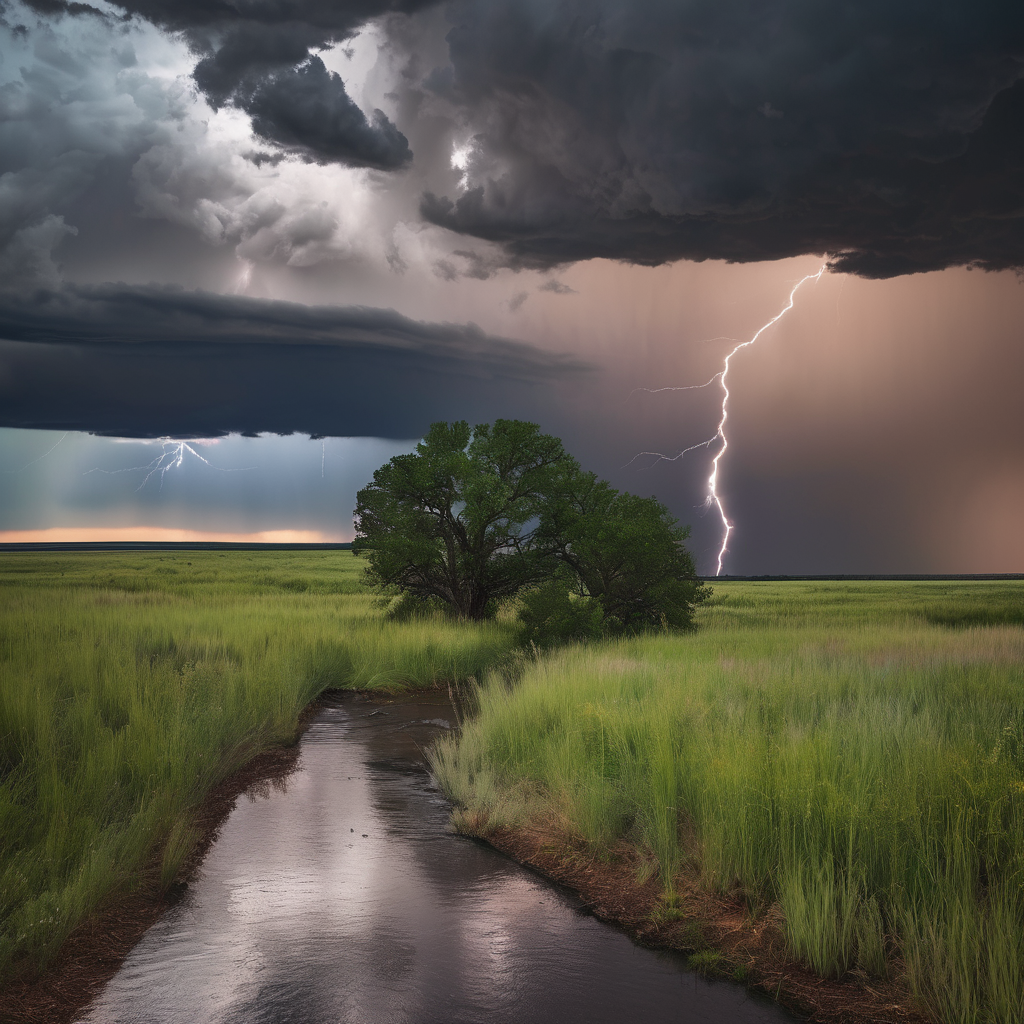
Residents in Oklahoma should prepare for a period of thunderstorms moving in later tonight and continuing into the early hours of tomorrow morning. Expected to hit around 3 or 4 a.m., these storms could bring gusty winds, thunder, and lightning. The threat of severe weather remains low, but enough instability exists to cause some loud weather disturbances, particularly in areas including Edmond, Norman, Purcell, and Shawnee.
The fast-moving nature of these storms means rainfall totals will likely remain under half an inch, but they are predicted to be notably noisy during the early hours. By the time the morning commute begins, the majority of the rain will have shifted east or southeast, although areas like Pauls Valley might experience lingering showers.
Tonight’s temperatures will dip into the 50s and 60s, offering a mild start to the following day. As the rains clear, Oklahoma City should expect to see afternoon highs reaching into the mid-80s, providing pleasant weather after the morning’s wetness. However, another surge of warmth is anticipated as the weekend approaches, with temperatures expected to climb into the 90s—possibly the last significant hot spell before fall sets in more substantially next week.
Events such as the OSU-Tulsa game are forecasted to enjoy mainly comfortable temperatures in the 70s. Still, attention will be needed for Saturday’s OU-Auburn game, as there’s a 40% chance of thunderstorms that could potentially disrupt activities.
Residents are encouraged to remain vigilant, especially in areas where activities may be impacted by the weather. While the immediate storm system carries a lower risk of severe conditions, its presence is a reminder of the ever-changing fall weather pattern. As the region transitions into the new season, more stability and cooler temperatures are anticipated to bring relief.