Meteorologists are issuing warnings of an impending severe winter storm set to impact Oklahoma later this week, bringing with it a combination of snow, freezing rain, and extremely low temperatures. The National Weather Service (NWS) has forecasted that rain may begin in some parts of the state as early as Tuesday, January 20, with an expectation that by Friday, January 23, a wintry mix or snowfall will blanket the entire state as temperatures plunge into the single digits.
This storm is part of a broader winter system expected to cause damaging ice and heavy snowfall across multiple southern states, including Texas, Oklahoma, and extending into the Carolinas and mid-Atlantic regions. AccuWeather cautions that the magnitude of snow and sleet could severely impact communities that are generally unaccustomed to such winter weather, leading to potential school and childcare closures.
In Oklahoma, light rain is anticipated in the southeast region on Tuesday and Wednesday, with a 40-60% chance of precipitation expected around Durant and Ardmore. In contrast, central Oklahoma counties such as Carter, Murray, and Pontotoc are projected to see only a 15-25% likelihood of rain, accumulating less than half an inch.
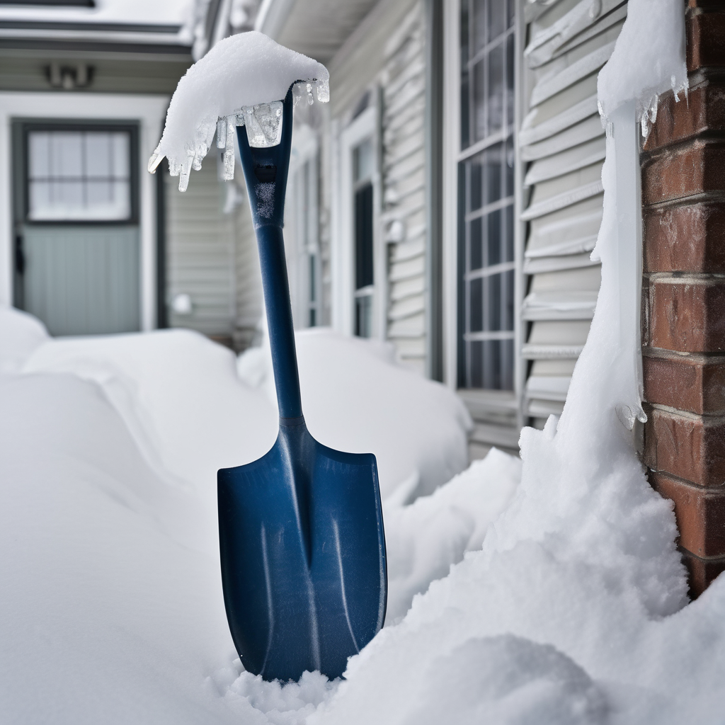
The most severe conditions are forecasted for Friday and Saturday, when a significant drop in temperature will occur, accompanied by hazardous wind chills and the possibility of accumulating snow and ice. Some regions in northern Oklahoma may experience air temperatures that remain below freezing for an extended duration of at least 48 hours. Friday night lows could reach as low as the single digits, presenting a dangerously cold start to the weekend, with Saturday’s high projected to be no greater than 18 degrees.
AccuWeather predicts that certain locations could receive between 6 to 12 inches of snow or more, especially amidst conditions that limit sleet and rain. Senior Meteorologist Alex Sosnowski noted that the developing storm could bring a long duration of winter weather across the southern Plains and into the Mississippi Valley throughout the weekend.
In terms of specific precipitation forecasts, the NWS anticipates a 50-80% chance of more than 6 inches of snow across the central region of Oklahoma, with variations depending on how the atmospheric conditions evolve. Areas in the southernmost part of the state may experience a glaze of ice.
For the upcoming week, residents can expect the following temperatures in Oklahoma City:
– Wednesday, Jan. 21: High of 52 degrees, Low of 27 degrees
– Thursday, Jan. 22: High of 49 degrees, Low of 25 degrees
– Friday, Jan. 23: High of 34 degrees, Low of 9 degrees
– Saturday, Jan. 24: High of 18 degrees, Low of 6 degrees
– Sunday, Jan. 25: High of 27 degrees, Low of 9 degrees
As the weather situation develops, residents are encouraged to stay informed about weather alerts and updates, ensuring safety during this potentially hazardous winter event.