A major snow and sleet storm is expected to impact Northwest Arkansas and the River Valley starting Friday night, January 23rd, potentially bringing the heaviest snowfall in 15 years. The storm is forecasted to start this evening and continue into Saturday morning, with a respite expected Saturday afternoon and evening before another round begins on Sunday. By the conclusion of the storm, snow accumulation could range from 10 to 14 inches across the area, particularly along the I-40 corridor.
Locations such as Fort Smith, Van Buren, Alma, and Clarksville are at risk for significant snowfall, although areas further south may experience lower totals due to a mix of sleet and rain. For instance, places like Waldron and Heavner could see anywhere from 4 to 7 inches of accumulation predominantly from sleet, with a slight chance of snow.
Meteorologists are particularly cautious about the potential for isolated areas to surpass 14 inches of snow, especially in the higher elevations of the Ozarks. The storm’s intensity is characterized by heavy precipitation, with reports indicating possible snowfall rates of up to two inches per hour. As temperatures drop into the single digits and teens tonight, it’s important to note that road treatment materials may be less effective in such extreme cold, suggesting that plowing will be necessary to manage snow removal.
Travel conditions are expected to be extremely hazardous, especially late Saturday night into Sunday when heavy snow is anticipated. Authorities warn that some periods may see near-impossible travel for even snow plows. As the weather evolves through the weekend, the community is encouraged to stay alert for ongoing updates and to prioritize safety as this significant winter storm unfolds.
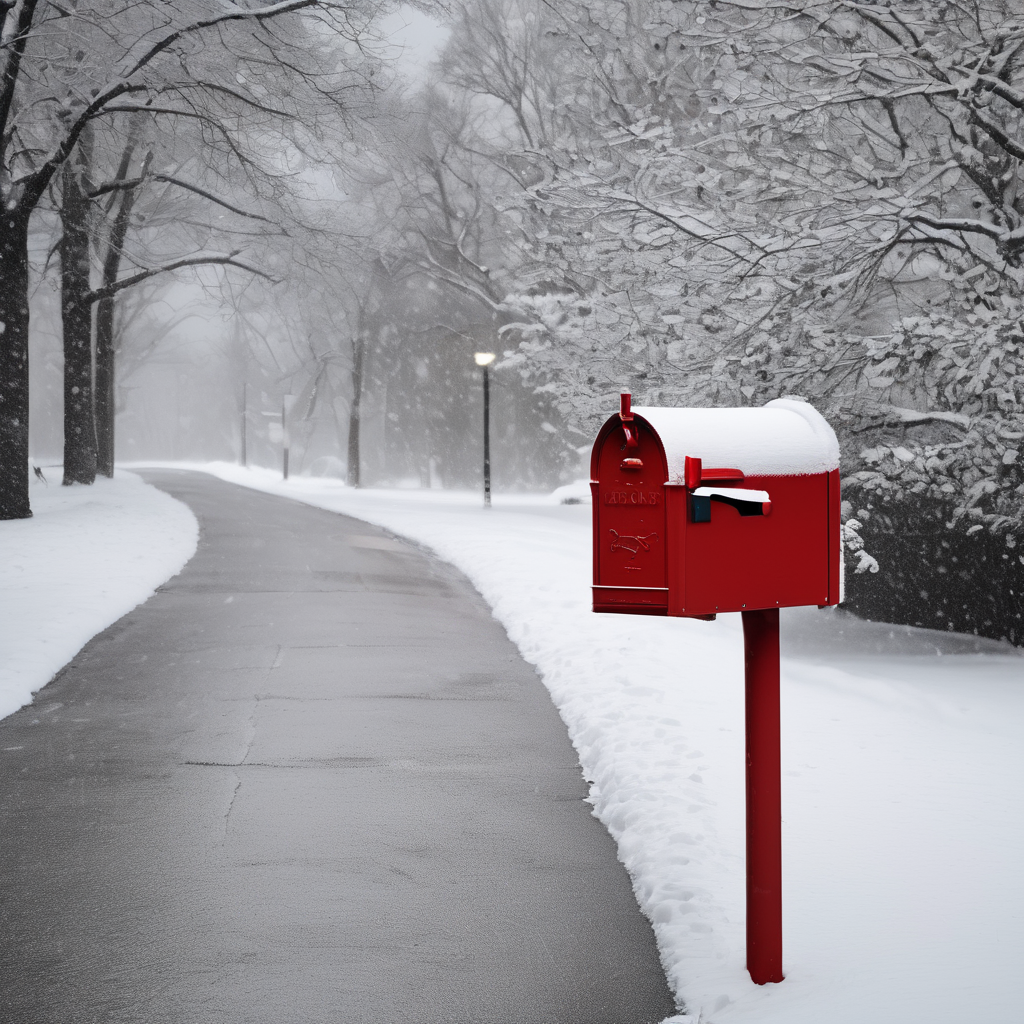
Overall, while the storm may pose challenges, it also offers the opportunity for landscapes to be transformed into picturesque winter scenes, and communities can come together during this time to support one another.