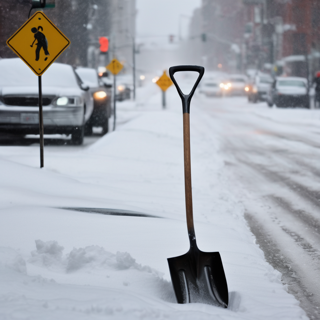
A significant winter storm is on the horizon for the Northeast, expected to bring one of the largest snowfalls seen in nearly four years. The storm could deliver between 8 to 16 inches of snow across the region from Sunday into Monday, delivering a mix of excitement for snow enthusiasts and frustration for those who prefer milder weather.
The last major snow event in Boston, where more than a foot fell in a single day, occurred on January 29, 2022, when 23.6 inches were recorded. While this storm is not anticipated to reach those extremes, there is a palpable chance for Boston to see double-digit snowfall totals.
Forecasts indicate that the storm will track closely to the south, moving along Long Island before exiting over Cape Cod. The heaviest snowfall is expected to blanket Massachusetts, Connecticut, and Rhode Island, while Northern New England may only see lighter flurries.
The anticipated snowfall will likely start around noon on Sunday, with timing variations across different areas; earlier accumulations are expected in Springfield and Hartford, with Boston, Providence, and Portland, Maine experiencing later onset. The high-pressure area to the north is predicted to help keep warmer air away from the region.
Current snowfall predictions suggest that most areas in Southern New England may receive a minimum of 6 to 8 inches, with significant pockets seeing totals rise to 12 to 16 inches, especially around Worcester and Boston. As the storm progresses, fluctuations in snowfall totals are expected due to moisture from the ocean interacting with the cold air, leading to localized heavy snow bands that could vary totals by as much as 6 inches from town to town.
In Northern New England, snow accumulations are also likely, although generally milder totals of around 6 inches are anticipated. One notable concern with this storm is the risk of power outages, caused by the heavy, wet snow coupled with wind gusts potentially reaching 40 mph or higher, requiring residents to prepare ahead.
The National Weather Service has already issued winter storm watches for most of Southern New England from Sunday morning through Monday evening. As the storm develops, meteorological models are aligning, indicating a strong possibility of intensified precipitation as the system interacts with the ocean, which may further influence snowfall rates.
As the storm unfolds, temperatures throughout the region will remain steeped in cold, ranging from single digits to the low 20s during the day, while easing slightly overnight into Monday. Snowfall will continue on and off into Monday, providing opportunities for cleanup, albeit with continued cold temperatures.
Experts will keep a close eye on the storm’s evolution, providing timely updates to the public as conditions change leading up to this significant winter weather event. Overall, all signs indicate that Boston and Southern New England are set for a major snowfall, reaffirming the region’s winter dynamics.
