A winter storm set to arrive late Saturday, January 24, is anticipated to blanket New Jersey with as much as 18 inches of snow. However, the most significant hazard appears to be the potential for sleet and freezing rain, which may cause hazardous conditions and power outages in various regions.
The National Weather Service issued a winter storm warning shortly after 12:30 p.m. on Friday, noting that the storm is expected to persist into Monday. While parts of northern Morris and Sussex counties may primarily experience snow, other areas are likely to see a mix of sleet and freezing rain, especially in central and southern regions.
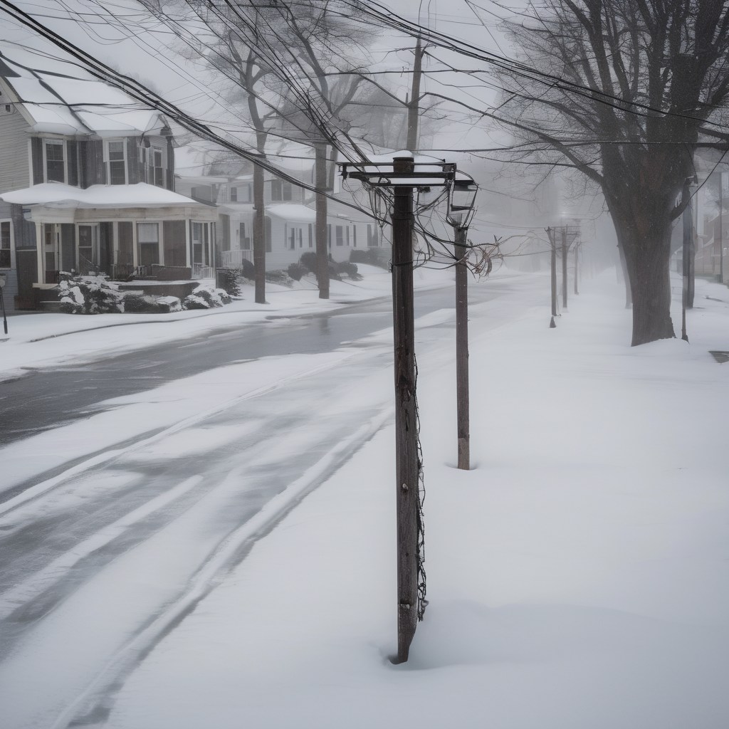
Meteorologist Joe DeSilva highlighted the possible impact of this storm, indicating that the transition to sleet and freezing rain could commence in southern New Jersey by late Sunday morning and extend to other areas by Sunday afternoon. Particularly concerning is the freezing rain, which could lead to up to a quarter inch of ice accumulation in certain locales, compounding the risk of power outages as ice weighs heavily on trees and power lines. Ice accumulation can add considerable stress, potentially increasing the weight of power lines by up to 500 pounds and making driving conditions perilous.
The weather service’s forecasts identify areas at higher risk for outages, particularly from Red Bank to Howell and southward to Jackson. Steve DiMartino from nynjpaweather.com has termed the threat of outages in these areas “very high,” predicting that freezing rain will begin impacting these towns around 5 to 6 p.m. on Sunday.
As the storm progresses, temperatures are expected to fall sharply, and a cold weather advisory is in effect, with wind chills predicted to plummet between -10 and 0 degrees, raising concerns about hypothermia and frostbite for those outdoors. This cold snap is expected to linger through the following week, with temperatures remaining well below normal.
The immediate future may present challenges due to this severe weather; however, it is also a reminder of the resilience and preparedness that communities often display in the face of winter storms. Residents are encouraged to stay informed, plan ahead, and prioritize safety during this potentially hazardous weather event.