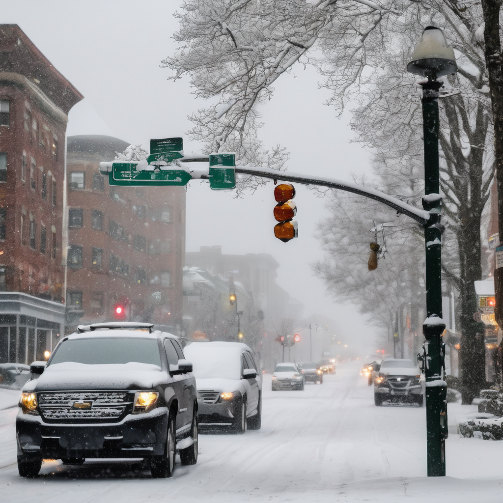
New Jersey is bracing for a complex winter storm today, with forecasts indicating a mix of snow, sleet, and ice that could lead to hazardous conditions during the morning commute. As a result, multiple school districts across the state have opted for closures or delayed openings on Tuesday.
Sussex County is expected to experience the heaviest snowfall, accumulating up to 4 inches, while other surrounding regions may see lower totals. The National Weather Service is also warning of potential ice accumulation, which could create slick roads and challenging travel conditions.
To prepare for the anticipated storm, a state of emergency will be implemented at 5 a.m. in Hunterdon, Morris, Passaic, Sussex, and Warren Counties, all of which are currently under winter weather advisories. The National Weather Service emphasizes that this will be the first snowfall of the season, coinciding with the busy Tuesday morning rush hour. They caution that even relatively lower snowfall totals of 1-2 inches could have more significant impacts than usual, particularly due to icy conditions.
Precipitation is expected to begin around daybreak, setting the stage for a messy start to the day for commuters. School districts in Morris, Passaic, Somerset, Sussex, and Warren Counties have already announced adjustments to their schedules to prioritize safety given the anticipated weather challenges.
As communities prepare for this winter storm, residents are encouraged to stay updated on weather conditions and plan their travel accordingly to ensure safety during potentially treacherous conditions.