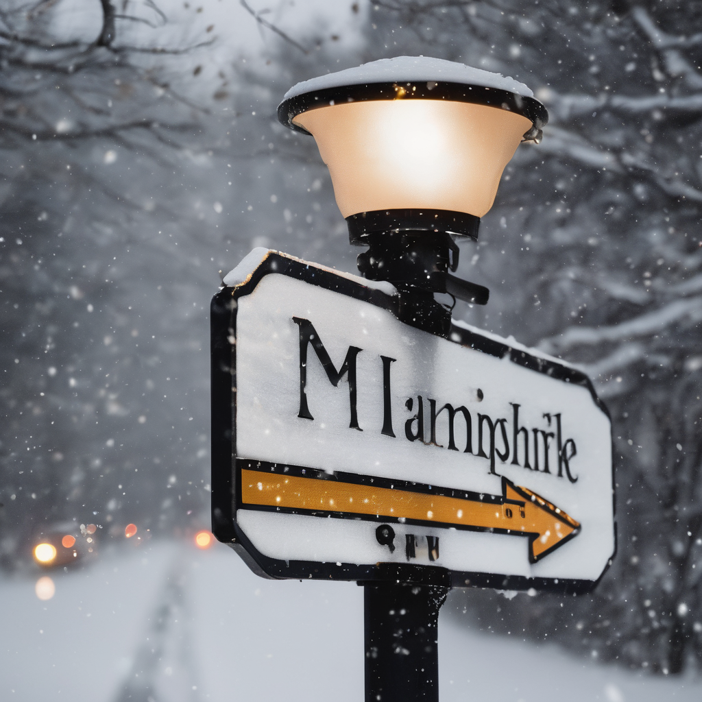
A significant snowstorm is set to impact New Hampshire this Friday evening, making for a treacherous commute across the state. Forecasts from the Mount Washington Observatory predict snowfall accumulations ranging from 4 to 9 inches in regions south of Lake Winnipesaukee, with the Mount Washington Valley expected to receive about 5 to 8 inches by early Saturday morning.
According to the National Weather Service, certain areas could see between 6 to 8 inches of snow, with the possibility of some locations receiving even more, potentially reaching up to 10 to 12 inches. Snowfall is expected to intensify overnight, with rates potentially exceeding 1 inch per hour.
In light of the impending weather conditions, a winter storm warning has been issued, effective from Friday at noon until Saturday at 7 a.m. Most of the accumulation is anticipated during the evening hours, which could lead to hazardous driving conditions.
Jen Lane, the chief communications officer at the state Department of Transportation, has assured the public that plow crews are prepared and ready to address the snow accumulation. However, she emphasized the importance of caution for drivers, stating, “This evening commute could be a little bit slick. The snow is expected to be wet and heavy, so when it comes down, it’s really going to stick to the road and it’s going to come down fairly quickly.”
As residents prepare for the snow, it is essential to stay informed of the latest weather updates and plan for extra travel time if venturing out. The upcoming snowfall presents an opportunity for winter enthusiasts to enjoy seasonal activities, all while encouraging drivers to prioritize safety on the roads.