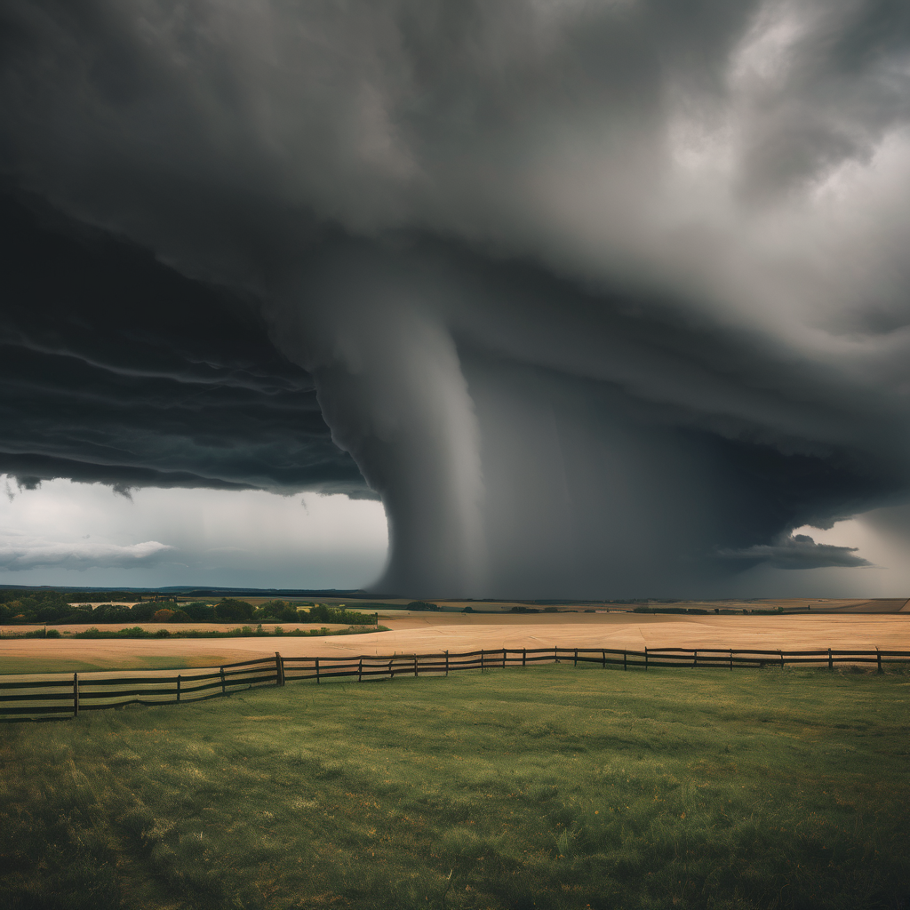
Residents of Salinas and Hollister experienced an unusual weather event as two funnel clouds formed in quick succession, prompting an investigation by the National Weather Service (NWS). The first funnel cloud was spotted in Salinas, followed closely by another formation near Hollister, with both appearing within a 30-minute timeframe.
While these funnel clouds bore a resemblance to tornadoes, it’s important to note that they do not qualify as tornadoes unless they establish contact with the ground. So far, no such contact has been confirmed for either of the clouds. David Chambers, a local eyewitness, recounted his experience watching the funnel cloud emerge. “I saw a wall cloud coming over the airport area. As I came back to the office, I told my boss, I think there might be a tornado. And everybody chuckled,” he said. Chambers and his coworkers managed to witness the cloud start to form and observed it spiral downwards, although it never made contact with the ground.
As they sought refuge from the intensifying storm, which featured heavy rain, hail, and lightning, Chambers noted the funnel cloud dissipating from within the safety of their building. The horizontal nature of the funnel cloud near Hollister suggests that it also likely did not touch down.
Such occurrences are rare for the Central Coast, and residents are generally unaccustomed to witnessing funnel clouds, particularly two forming so closely in time. The NWS is currently investigating the phenomena, and updates will be provided should new information emerge regarding the funnel clouds’ status.