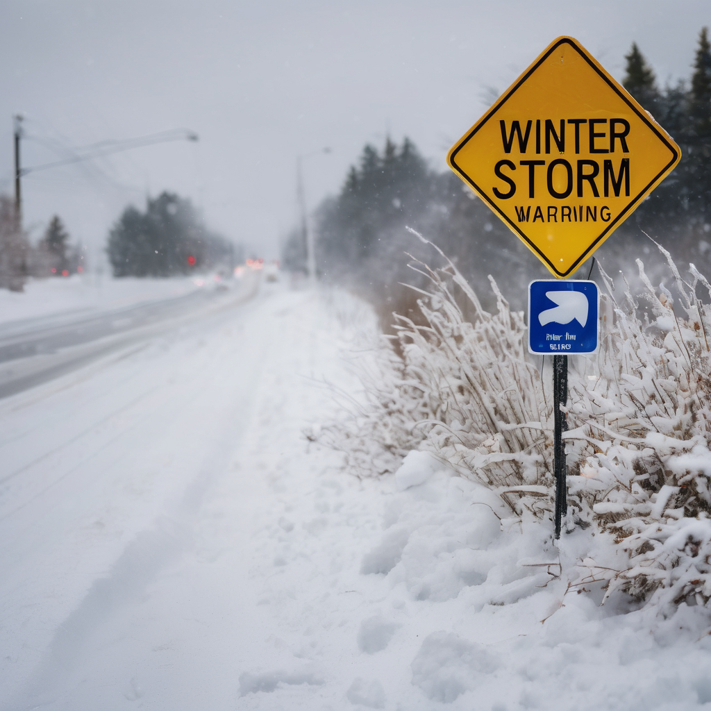
A significant winter storm has impacted large regions across the Midwest and Northeast, delivering over a foot of snow and causing major travel disruptions during the busy post-Thanksgiving weekend. Major interstates faced severe crippling, and airport operations were significantly delayed, as the storm moved through the Corn Belt, Upper Midwest, and Great Lakes. This winter system is set to be followed by another substantial snowstorm that is forecasted to affect parts of the Northeast.
The treacherous weather conditions were highlighted by a massive 50-vehicle pileup on Interstate 70 in Terre Haute, Indiana, on Saturday. Additionally, numerous tractor-trailers jackknifed on Interstate 65, while Minnesota reported 104 crashes and over 120 spinouts attributed to the storm.
The snowfall measurements have been staggering, with Bear Lake in Michigan’s Lower Peninsula recording more than 25 inches, which was largely a result of lake-effect snow that preceded the storm. Similarly, Westmoreland in New York, located east of Syracuse, also reported 25 inches of snow, while Ellicottville, south of Buffalo, received nearly 19 inches.
As the storm moves eastward, another system is forming, originating from an upper-air disturbance in Nevada. This system is expected to merge with moisture from the Gulf of Mexico and evolve into a winter storm that will affect the Ohio Valley and the Appalachian region early next week. By Monday, light snow may begin in Kansas and Missouri, with mixed precipitation in northern Arkansas, while a steady rainfall is anticipated for Mississippi, Alabama, and western Georgia by the evening.
Widespread snow accumulation is projected across Indiana, Ohio, and Pennsylvania, particularly in the Alleghenies and Appalachians, where significant ice accumulation could lead to hazardous travel conditions. Tuesday is expected to see heavy snowfall in interior New York state and large parts of northern New England, while the coastal areas will likely experience rain.
The current storm has already left a mark with considerable snow totals recorded, underscoring the severity of the weather. Reports include 25 inches in both Bear Lake and Westmoreland, with a range of totals across the Midwest reaching as high as 20 inches in Alba, Michigan, and between 10 to 15 inches in several locations throughout Iowa and Ohio. Notably, central Illinois also experienced thundersnow, where unusually frequent lightning strikes were reported, contributing to the dangerous conditions.
With winter weather continuing to develop and additional storms on the horizon, communities are urged to stay informed and prepared for potentially hazardous conditions in the coming days. The fierce winter weather serves as a reminder of nature’s power during this season, with ups and downs as communities come together to navigate through it.