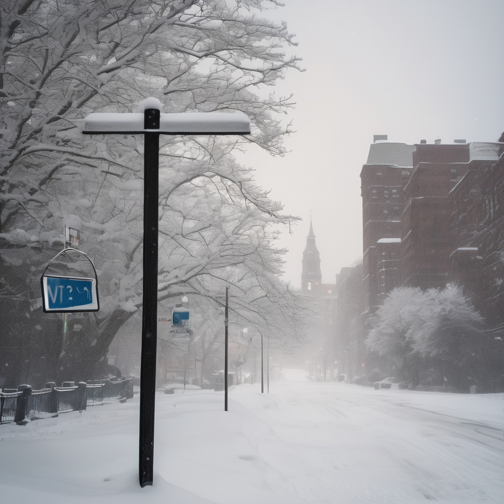
A significant nor’easter is currently impacting Massachusetts, leading to heavy snowfall rates of 2 to 4 inches per hour in some regions. In response to the intense storm, a blizzard warning has been issued, prompting the governor to declare a state of emergency for the area. The storm has already dropped nearly 7 inches of snow in New Bedford by early Monday morning, and forecasts predict that some areas could see two feet of snow accumulation.
Meteorologists warn that the heaviest snowfall will persist until at least 11 a.m. on Monday, with StormTeam 5 Chief Meteorologist Cindy Fitzgibbon indicating that the worst conditions are yet to come. The state has already received 43.3 inches of snow this season, and the incoming storm could add significantly to that total.
A Blizzard Warning, in effect until 7 a.m. Tuesday, covers all of eastern and central Massachusetts, stretching beyond I-495 and impacting portions of western Massachusetts as well. Blizzard conditions are characterized by visibility dropping to a quarter mile or less due to blowing or falling snow, combined with sustained winds or gusts of 35 mph or more lasting at least three hours.
Winds are expected to peak Monday morning into midday, as the storm’s barometric pressure continues to drop. Gusts may reach 70 mph or higher, particularly in southeastern Massachusetts, raising concerns about potential power outages across the region.
Travel conditions are dire, with whiteout conditions making driving extremely hazardous. Meteorologist David Williams emphasized the importance of staying off the roads, particularly during the early morning through midday timeframe when conditions are expected to be most severe.
Additionally, coastal areas are at risk of flooding due to high tide and strong winds pushing water ashore. A coastal flood warning is in effect south of Boston, along with a flood watch for later on Monday.
As the storm passes, residents can look forward to clearer skies and sunshine on Tuesday, with temperatures hovering near freezing. The weather pattern remains dynamic, with a chance of light snow returning midweek, and conditions potentially shifting to rain as temperatures rise toward the weekend.