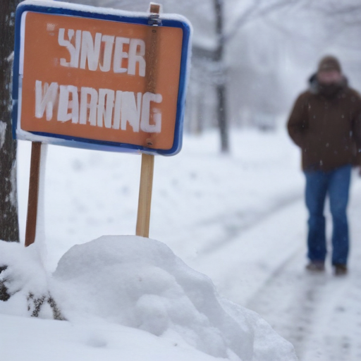
A winter storm warning has been issued for Maryland as a significant snow and wintry mix is expected to begin on Tuesday afternoon. Baltimore is currently experiencing cold temperatures in the 20s and 30s, with conditions remaining dry this morning before the weather system moves in.
As the day progresses, temperatures are expected to rise slightly, reaching the mid-30s, but snow will start to develop in the southern and western regions of the state around noon. The snowfall intensity is anticipated to increase after 4 PM, coinciding with dropping temperatures as the sun sets, leading to slick road conditions.
The forecast predicts that by 5 PM, snow will cover most of Maryland, particularly affecting Howard, Carroll, and Anne Arundel Counties, with heavier accumulations expected south of Baltimore. Areas including Annapolis and parts of Southern Maryland could see over five inches of snow, while northern locations may experience lighter totals of 2 to 3 inches.
The snow will continue overnight, tapering off early Wednesday morning. Residents should prepare for potential hazardous driving conditions due to accumulating snow on roads and sidewalks, especially during the evening commute.
Looking ahead, after the snow ends on Wednesday, a mix of rain and possibly more wintry weather could occur later in the week. Therefore, caution is urged for drivers as lingering slick spots may persist into Thursday.
This winter weather event serves as a reminder of the changing season as Maryland prepares to embrace the winter months. Residents should stay updated on weather conditions and make necessary preparations to ensure their safety.