A significant winter weather event is set to hit northwest Indiana, beginning late Saturday, bringing several inches of lake-effect snow that could create hazardous conditions. As mostly cloudy skies dominate the evening, most areas in the Chicago vicinity are expected to remain relatively clear, with only light snow anticipated and minimal accumulation.
The National Weather Service has forecast waves of lake-effect snow that will last into Monday morning, particularly affecting Porter County and regions to the east, where snowfall totals could range from two to five inches. A winter weather advisory for Porter County has been issued, effective from midnight Saturday until noon on Monday, with the potential for higher accumulation in certain areas.
Meteorologists indicate that the snowfall will intensify Saturday night into Sunday morning, followed by a temporary lull around midday Sunday. However, this calm will be short-lived as another round of lake-effect snow is anticipated to commence Sunday afternoon and continue until Monday morning.
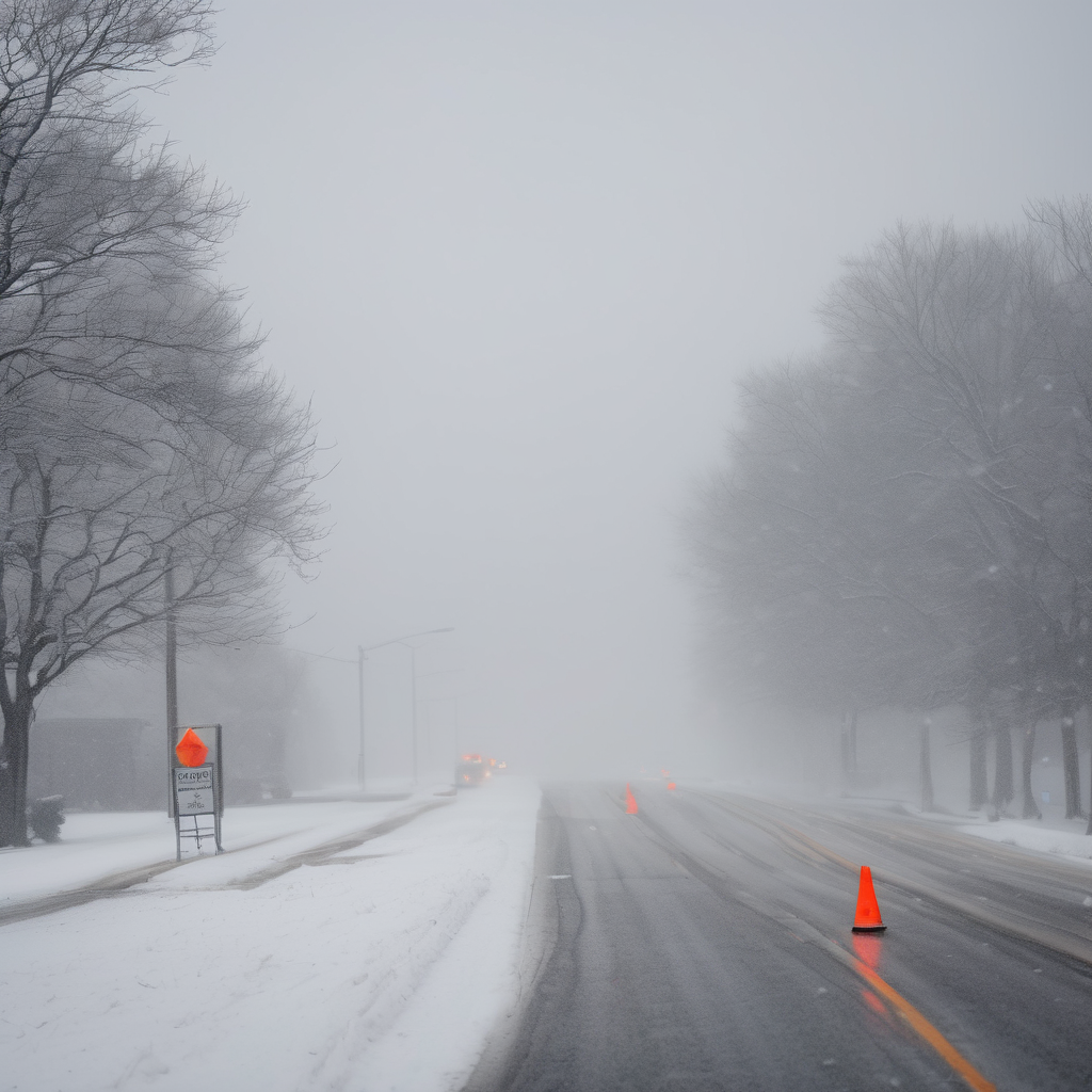
Travel challenges are looming, especially on Sunday night, with poor visibility and snow-covered roads predicted, particularly along Interstate 80 and the Chicago Skyway. The NBC 5 Storm Team cautioned that rapidly changing conditions may complicate driving.
The impacts of the incoming snow are expected to be significant for the Monday morning commute in northwest Indiana, as lake-effect snow showers persist before tapering off in the afternoon. Drivers are advised to exercise caution and allow extra time during their journeys as the situation develops.