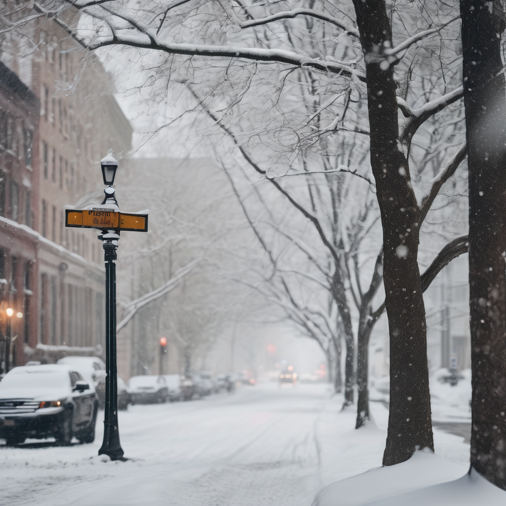
New York is bracing for another potential snowfall as temperatures drop significantly this week. The National Weather Service has warned that lake-effect snow will continue to impact various parts of the state, with Lake Ontario projected to experience the heaviest accumulation.
Through early Tuesday, snowfall from these lake-effect bands is expected to intensify, particularly across the Tug Hill Plateau, where weather conditions are already leading to challenging travel. Most areas might see accumulations of around an inch as the week begins, but forecasts indicate the possibility of more significant snow from Thursday to Friday, with a 30% to 50% chance of snow in New York City.
Maps from WXCharts reveal a vast snow cloud poised to affect the region, with parts of Albanese and Syracuse possibly facing the brunt of the storm. According to expert predictions, higher elevations east of Lake Ontario could receive between 6 to 12 inches of snow, whereas lower areas may see lighter totals. In preparation for these weather changes, a Winter Weather Advisory is in effect for counties east of the lake, set to expire Tuesday morning.
After experiencing high winds on Monday, the conditions are expected to settle down by Tuesday. However, the National Weather Service advises that travelers should remain cautious, as snow-covered roads and reduced visibility could complicate commutes.
While snowfall is uncertain for New York City, the arrival of a series of cold fronts late in the week will significantly chill the air, increasing the likelihood of snow or a wintry mix. As the region prepares for these frigid conditions, communities are once again reminded of the unpredictable nature of winter weather in New York.