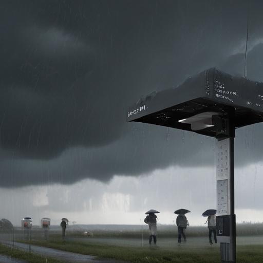
Rain chances rise as Labor Day weekend approaches
Forecast highlights
– Saturday: Isolated afternoon storms
– Sunday: Scattered storms likely, starting in the afternoon and moving in and out through the night
– Labor Day: Scattered storms
Impacts
– Quick 1 to 3 inches of rain possible from any storm or heavy downpour
– Localized street flooding possible in slower streets and urban areas
The forecast in detail
– Saturday looks hot, with isolated storms possible in the afternoon. A cold front will stall north of San Antonio, keeping temperatures high while helping to spark storms that develop first in the Hill Country and then drift south toward San Antonio and surrounding areas. The best chances will be along and north of I-10.
– From Sunday into Monday, rain chances rise and peak in intensity. While it won’t be a total washout, locally heavy downpours could cause isolated flash flooding, especially in parts of the Hill Country and southern Edwards Plateau.
– Lingering rain is possible into Monday afternoon, but a cooler airmass is expected to move in afterward, with highs dropping to near 90 degrees.
– Across the region, expect 1 to 3 inches of rainfall from downpours. Humid conditions will fuel afternoon and evening thunderstorms, particularly across the Hill Country, Edwards Plateau, and along the I-35 corridor. Widespread flooding isn’t anticipated, but slow-moving storms and repeated downpours could lead to urban and small stream flooding, hence a marginal risk level (1 of 4) for flash flooding in parts of the area.
What this means for your Labor Day weekend plans
– If you’re traveling or spending time outdoors, stay weather-aware. Thunderstorms can develop quickly and drop heavy rain in a short period, leading to slick roads and localized flooding.
– Expect the heaviest rain to favor areas north of I-10 on Saturday, with broader chances across the region Sunday into Monday.
– Outdoor activities should plan for possible delays and quick showers, and drivers should be cautious of rain-induced street flooding, especially in urban corridors and near streams.
Extra notes for readers
– Keep an eye on updates as storm development can shift timing and intensity. Even without a total washout, multiple storms can produce isolated flooding in vulnerable spots.
– After the weekend, cooling is on the horizon with temperatures near 90 degrees by Monday afternoon.
Brief article takeaway
– A hot Saturday gives way to an increasingly unsettled Labor Day weekend, with likely storms and potential localized flooding. A cooler front moves in by Monday, offering some relief from the heat. Enjoy the rain responsibly and stay informed on the latest forecasts.
Summary
– Expect isolated storms Saturday, increasing to scattered storms Sunday through Monday with 1–3 inches of rain possible and a risk of localized flooding in parts of the Hill Country and Edwards Plateau. A cooler, near-90 degree high returns Monday afternoon as the weather pattern settles. Positive note: the heat will ease after the front passes.
