Thunderstorm chances rise for Labor Day weekend across South Texas and the Hill Country, with a potential for localized flooding as a late-summer cold front pushes south through the region. While dry spells will still occur, an umbrella and extra caution for outdoor plans are advised.
Rainfall and heat relief in the forecast
San Antonio has seen very little rain recently, recording only 0.11 inch since July 15 — about 2.77 inches below normal for this period. The approaching front will also bring a noticeable drop in temperatures after a stretch of 100-degree days, with afternoon highs expected to dip into the 80s by Labor Day.
Saturday forecast
Most of Saturday looks dry across South Texas. Morning temperatures will be comfortable in the mid- to upper-70s, with daytime highs climbing from the upper 80s into the upper 90s or near 100 degrees by late afternoon. A few isolated showers or storms may develop as early as 4 p.m. to 5 p.m., but rain chances rise notably after 8 p.m. A cluster of storms moving south from the Hill Country could bring a 20-30% chance of storms into San Antonio between 8 p.m. and midnight.
Storm chances increase as the front nears
On Sunday, the cold front will be closer to the area, and highs will depend on the front’s timing. If the front moves in early, highs may hold in the low 90s; if it lingers, readings could reach the upper 90s. By late Sunday afternoon, scattered storms are expected to rise to about a 50% chance. Thunderstorms could bring intense downpours, frequent lightning, and strong winds in some spots.
Overnight Sunday into Monday looks to be the period with the highest rain coverage, with San Antonio’s chances around 60% from roughly 4 a.m. to 11 a.m. Labor Day. Behind the front, north winds will cool the area, and temperatures on Monday will struggle to reach the 80s, down roughly 10 degrees from Saturday. Predawn temperatures are forecast in the lower to mid-70s.
Expected rainfall totals
Rainfall will be unevenly distributed, with pockets of higher totals where storms train or intensify. In San Antonio, the most likely totals are in the half-inch to one-inch range, with isolated totals of 3 inches or more possible in parts of Bexar County. Across South Texas and the Hill Country, higher totals are expected: generally an inch to 3 inches through Labor Day weekend, with isolated amounts up to 6 inches possible in the Hill Country.
Practical notes for weekend plans and safety
– If you’re traveling or planning outdoor activities, have an umbrella or rain gear handy and be prepared for passing storms, especially Saturday night through Monday.
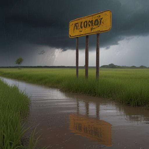
– Monitor local forecasts for potential flash flooding, especially in low-lying areas and near creeks and washes.
– Drive with caution during storms—wet roads, reduced visibility, and gusty winds can occur even if rainfall seems localized.
Summary
A cold front approaching from the north will bring repeated chances for thunderstorms across South Texas and the Hill Country this Labor Day weekend, with a higher likelihood of storms Sunday night into Monday morning. While temperatures will cool, rainfall will be uneven, offering both heat relief and the risk of localized flooding. Plan for scattered rain, but enjoy the weekend with a weather-aware mindset. If you’re seeking a positive angle, the rain will help green up landscapes and ease the recent heat wave, even as residents stay alert for heavy downpours in stormier pockets.