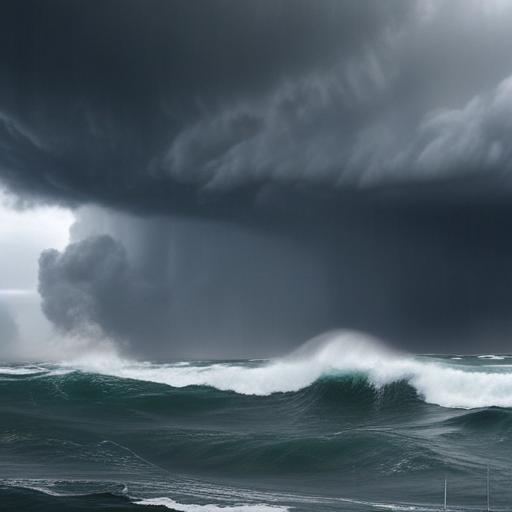
Tropical Storm Kiko forms in the Eastern Pacific and is expected to strengthen to a hurricane as it moves west
A new tropical storm named Kiko has formed far offshore in the Eastern Pacific. It is located about 1,045 miles west-southwest of the southern tip of Baja California, drifting west at roughly 9 mph. Maximum sustained winds are near 40 mph (65 km/h) with gusts higher than that.
Forecasters at the National Hurricane Center project Kiko will become a hurricane by Tuesday as it continues on a westward path. The storm’s current structure shows a curved band wrapping around the western half of the circulation and a burst of deep convection near the center, with cloud tops reaching around -80 C. Dvorak estimates support upgrading Kiko to Tropical Storm status, and the system is already moving westward at about 8 kt under the influence of a strong subtropical ridge to its north.
This ridge is expected to stay in place through the next five days, keeping Kiko on a persistent westward track into the central Pacific. The official forecast remains close to the consensus guidance. Environment around Kiko features warm sea surface temperatures, moist mid-level air, and low vertical wind shear, all favorable for steady strengthening over the next couple of days.
Officials say Kiko is likely to reach hurricane intensity in about 48 hours. Beyond that, the storm’s near-surface track along the 26 C isotherm and potential entrainment of mid-level dry air could hinder further intensification. A slight jog to the right in the storm’s track could push it over cooler waters and further limit strengthening. The intensity forecast sits near the middle to higher end of model guidance through midweek, then trends closer to the consensus afterward.
What this means for land and sailors: at this time, there are no watches or warnings for land areas. Kiko remains far from shore, but its development and westward progression could raise swells and rip currents along coastline areas far offshore, particularly for residents in southwestern Mexico. Mariners should monitor the latest advisories as the storm evolves, and coastal communities should stay updated on any changes in track and intensity.
Additional notes for readers: expect periodic updates from weather agencies as Kiko approaches hurricane strength. While the storm is not currently threatening land, its progression under a dominant westward-wide ridge underscores how quickly tropical systems can intensify even when far from shore.
In short, Tropical Storm Kiko has formed and is forecast to become a hurricane within about two days, with a steady westward march under a protective ridge. Forecasters caution that interactions with dry air and cooler waters could cap its strength, so stay tuned for updates as the system evolves.
Summary: A new Eastern Pacific storm is intensifying toward hurricane strength while moving west-northwest under a persistent ridge, with land areas currently unaffected but coastal residents and mariners advised to monitor advisories for changes. Positive note: the system is far from populated coastlines for now, and forecasters expect a clear pattern that helps with ongoing tracking and preparation.
