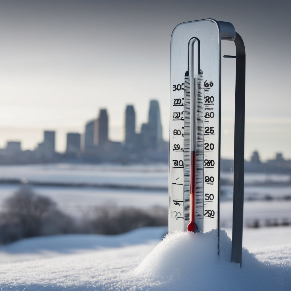
This weekend, residents of Kansas City can expect a significant drop in temperatures as Arctic air sweeps into the area. The cold snap will keep high temperatures in the 20s, making it a perfect weekend for indoor activities. On Sunday morning, temperatures will plummet even further, with wind chills dipping below zero, particularly early in the day.
While flurries are a possibility, especially on Saturday, significant snowfall is not anticipated. The storm track appears to be moving north of the metro area, meaning any accumulation will mainly affect southern Iowa and northeastern Missouri. However, a dusting of snow might be seen in some areas, including Trenton and Maryville, where residents might observe some light snow during the day.
As temperatures begin to fall into the single digits overnight, a north breeze will complement the cold, making it feel even chillier, particularly in the northern regions. Concerns about the cold are warranted, especially for those spending time outdoors. It’s essential to take precautions to stay warm and ensure pets have shelter from the elements.
The bright side is that this cold spell is expected to be short-lived. By Monday, temperatures will rise significantly, with a forecasted high of 45 degrees resulting from a stronger southwest wind. As the week progresses, temperatures could reach the 50s and potentially even 60 degrees by Wednesday.
Looking ahead to the week of Christmas, the outlook remains above normal for temperatures, which may influence the chances of a white Christmas. With the ongoing forecasting challenges, residents are advised to keep an eye on the changes in weather patterns as the festive week approaches, holding on to some hope for a winter wonderland, even if it seems unlikely at this moment.