A new weather system, designated Invest 98-L, has developed in the Atlantic Ocean, according to the National Hurricane Center (NHC). This disturbance is currently moving westward at approximately 29 miles per hour and is expected to encounter varying conditions as it progresses.
Locally, weather conditions remain favorable tonight, with clear skies and beautiful temperatures across Central Florida. The pleasant temperatures, currently in the mid-60s, make for a perfect outdoor evening, as many residents enjoyed fireworks displays earlier. However, changes are on the horizon for tomorrow, as the forecast predicts an increase in clouds and the likelihood of rain in the afternoon hours. The first half of the day is expected to be dry, allowing for outdoor activities.
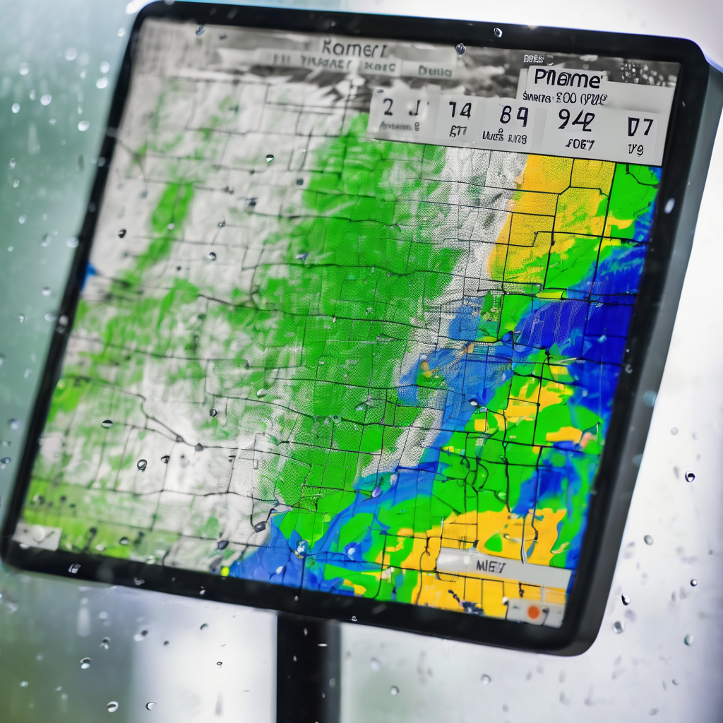
As the system evolves, forecasts indicate potential rain and isolated thunderstorms impacting areas from Ocala to Gainesville, moving eastward by late afternoon. While the anticipated rainfall amounts do not seem significant, there is a chance that some residents may get damp by evening.
In terms of potential impacts from Invest 98-L, meteorologists are monitoring its path and development closely. Current models show a split in projections, with some suggesting a northward trajectory toward the Caribbean while others predict it will head due west. The Global Forecast System has indicated that if the weather system interacts with landmasses in the Caribbean, it might pose risks, emphasizing the necessity of continued vigilance in tracking the tropical disturbance.
As Central Florida looks forward to the upcoming week, residents can expect a few showers on Sunday, Monday, and Tuesday before drier conditions return. While changeable weather can be challenging, these conditions also offer opportunities for renewal and growth in our ecosystems. With careful observation and preparation, the community can navigate these shifts effectively, ensuring safety and comfort as the seasons evolve.