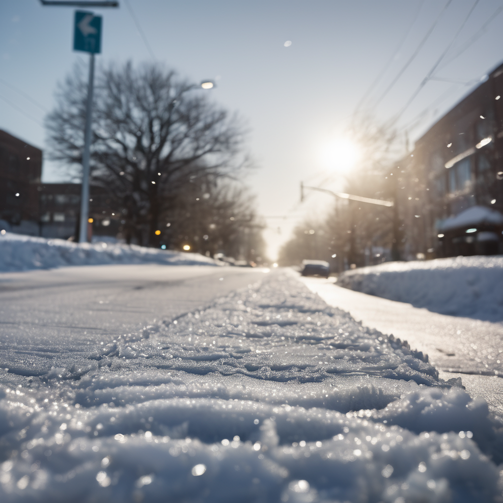
Road conditions around Indianapolis rapidly deteriorated on December 1 as snow began to fall just before the evening commute, prompting a flurry of vehicle slide-offs and crashes. The winter weather advisory was issued at 5 p.m., warning drivers of the impending slick conditions.
A heavy snow band swept across Central Indiana, particularly affecting areas north of Interstate 70. The National Weather Service (NWS) in Indianapolis advised drivers to slow down and maintain safe distances while traveling. Initial forecasts predicted snow accumulation of 2 to 5 inches in various parts of central, east central, and west central Indiana.
In the immediate aftermath of the snow’s arrival, the Indianapolis Metropolitan Police Department (IMPD) reported responding to over 50 incidents, including at least 10 crashes that were ultimately unfounded. Snow accumulations at the Indianapolis International Airport already reached approximately 1.7 inches by 7 p.m., with expectations of an additional inch or two throughout the night.
Meteorologists forecast continued light snow overnight, with predictions of more moderate snow intensifying in the early morning hours of December 2. They noted that while the snow was forecasted to taper off by around 4 a.m., the hazardous conditions would likely persist, particularly on untreated county roads.
In response to the adverse weather, the Indianapolis Department of Public Works has been active since late November, monitoring and treating roads with crews working in 12-hour shifts. The NWS indicated that despite their efforts, commuters, especially in rural areas, should exercise caution due to the lingering icy conditions.
Looking ahead, a cold front is expected to sweep through the area starting late on December 3, bringing temperatures that could plummet to as low as 10 degrees Fahrenheit, or even below zero in some parts of Indiana. Residents are encouraged to dress warmly and stay indoors during this extreme cold snap.
Additionally, some areas in Northern Indiana are dealing with freezing fog, which occurs when moisture freezes upon contact with surfaces, creating thin layers of ice, particularly on elevated structures. This fog should dissipate as temperatures begin to rise.
The unusual weather patterns over Indianapolis led to discussions about an apparent “dome” that seemed to spare the city from significant snowfall earlier in the week. Meteorologists explained that radar data collection could create such visual phenomena, coupled with a dry air mass that prevented some snow from reaching the ground.
As winter weather continues to impact travel, the public is urged to monitor road conditions via the Indiana Trafficwise map and heed weather advisories to navigate safely through the inclement weather ahead.