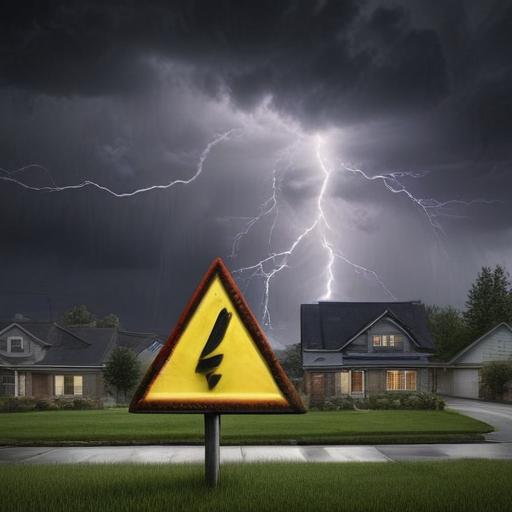
Severe storm risks are being closely monitored as Indiana braces for potential strong storms into Tuesday evening. A Tornado Watch is currently active for western Indiana until 9 PM EDT and for southern Indiana until 11 PM EDT.
As the night progresses, meteorologists will keep an eye on how far north a warm front advances. Additional showers and thunderstorms are expected to develop, particularly along and south of this warm front. The central region of Indiana is under a Slight Risk (level 2 out of 5) for severe weather, with wind being the primary concern, though isolated tornadoes and hail cannot be ruled out. The window for severe weather extends until midnight.
Tonight’s temperatures are expected to drop into the upper 50s.
Looking ahead to Wednesday, a few showers may linger under mostly cloudy conditions, with daytime highs only reaching the mid-60s. Winds could gust up to 30-35 MPH, adding to the brisk feel.
Thursday brings the possibility of spotty showers throughout the day, along with even cooler temperatures, peaking only in the upper 50s to low 60s. Breezy northwest winds will persist, with gusts between 25-30 MPH.
The extended forecast indicates that below-normal temperatures will continue into the weekend, including for the highly anticipated Indy 500 race weekend. Carb Day on Friday is projected to see highs in the mid-60s with partly cloudy skies. As for race day on Sunday, there is a chance of rain, though current predictions suggest it will mainly affect areas to the south, with temperatures climbing into the mid to upper 60s.
This upcoming weather pattern urges residents to remain informed and prepared as the severe storms could impact outdoor plans. As we head into a cooler stretch, let’s hope for a bright and race-friendly forecast as the weekend unfolds.