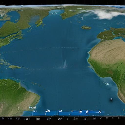
Hurricane Iona has intensified to a Category 3 storm in the central Pacific Ocean, situated approximately 790 miles south-southeast of Honolulu, Hawaii. With maximum sustained winds reaching 115 mph, forecasters from the National Hurricane Center confirmed that while Iona is a significant storm, it currently does not pose an immediate threat to the Hawaiian Islands, and no coastal watches or warnings are in effect.
As Iona continues its westward trajectory over the next few days, additional strengthening is anticipated. However, forecasters predict that a steady weakening will begin on Wednesday, marking a shift in the storm’s intensity.
Iona is notable for being the first named storm of this season in the central Pacific, having developed from a tropical depression late Saturday night. This year’s hurricane season has already seen a mix of activity, including Tropical Storm Keli, which is positioned farther south with sustained winds of 40 mph and is also moving westward.
The eastern Pacific has been particularly active, with several named storms observed, including Hurricane Erick, which made landfall in Mexico as a Category 3 storm last month. Additionally, Flossie and Barbara have also reached hurricane strength without making landfall.
Looking at the wider weather patterns, forecasters from Colorado State University are predicting an above-average Atlantic hurricane season, with expectations of 16 named storms and eight hurricanes.
Overall, while Hurricane Iona presents a tangible weather event in the Pacific, the ongoing monitoring and predictive efforts by meteorologists provide reassurance that the situation remains manageable for residents of Hawaii.