A significant cold front is set to sweep into Houston this weekend, bringing with it the coldest temperatures seen this season. As the arctic air moves in on Saturday, temperatures will plummet from Friday’s highs in the 70s to daytime highs in the lower 40s and possibly upper 30s by Sunday. Morning lows are expected to dip into the 20s and 30s, marking a sharp contrast to the warm weather residents have enjoyed.
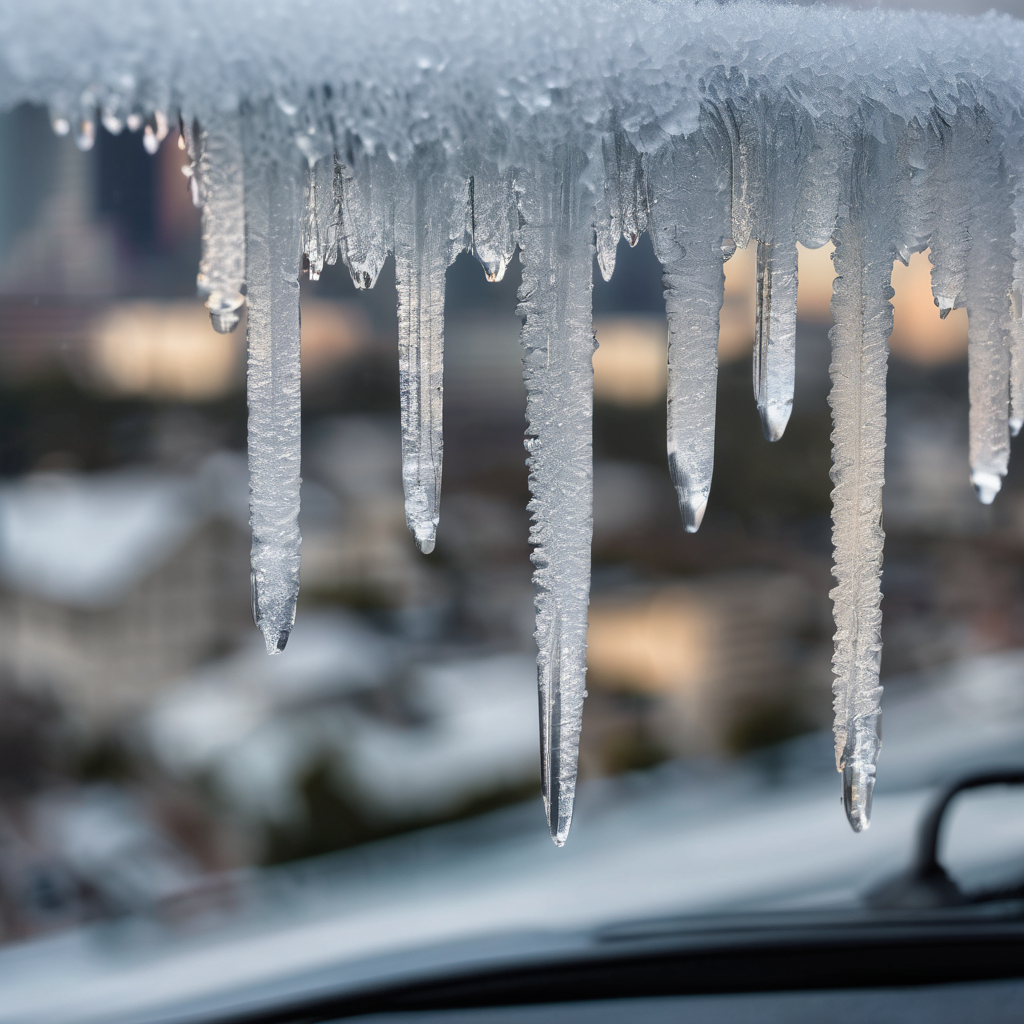
Forecasts indicate a potential for hazardous winter weather as freezing rain is possible in the area, particularly north of Houston. This type of precipitation can be the most dangerous, as even a thin layer of ice can create treacherous driving conditions and risk power outages, especially if it accumulates on trees near power lines. The critical factor for the freezing rain to occur is the alignment of freezing air—below 32 degrees Fahrenheit—with precipitation, with timing currently pointing to Saturday night for the best chance of these conditions.
Accompanying the cold snap will be wind chills that could feel as cold as the teens, further enhancing the bitterly cold experience. Meteorologists express high confidence in the arrival of this strong arctic front, which promises to bring not just frigid temperatures but also the possibility of frozen precipitation in the region.
As the weekend approaches, forecasters expect the details of this weather system to become clearer, allowing for more precise predictions. Residents are encouraged to stay informed about the changing weather conditions and to prepare for a potentially challenging weekend ahead.