Utah Weather: Scattered showers, gusty winds lift fire danger as heat returns
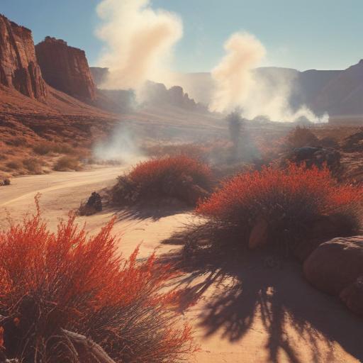
Salt Lake City — Friday is shaping up with scattered clouds and isolated showers across Utah, with the heaviest activity likely to stay east of I-15. Gusty outflow winds paired with very dry air will push fire danger higher across northern and western parts of the state.
Highs will reach the mid-90s along the Wasatch Front, while southwestern Utah bakes near 100 degrees. Areas south of I-70 have the best potential for pockets of heavier rainfall, though the overall risk for flash flooding remains limited to isolated spots in southern recreation areas.
Temps may edge slightly cooler into the mid-90s in northern Utah and hover around 100 degrees in the southwest through the weekend. The isolated storm threat continues into Saturday, but Sunday is expected to be mainly dry.
Looking ahead to next week, a typical high-pressure heat dome is forecast to rebuild over Utah. Expect plenty of sunshine and temperatures running well above average, with highs around 100 for the Wasatch Front and 105-plus degrees again for southwestern Utah by late next week.
What this means for you: If you’re heading outdoors, plan for hot, dry conditions and monitor for changing weather. Fire restrictions may be in place where winds and dryness align, so avoid any outdoor flames and check local advisories before camping or grilling. Stay hydrated, wear sun protection, and keep an eye on the latest forecast updates for possible changes to rain chances or heat levels.
We’ll keep you updated with the latest developments in the 4Warn forecast both on-air and online. For more weather news and live updates, stay with us.