Heavy Rainfall and Flooding Risks Escalate Along Gulf Coast
A tropical disturbance known as “Invest 93L,” situated near the northern Gulf Coast, poses a notable risk of flooding rainfall, particularly for Louisiana, despite a diminishing likelihood of developing into a tropical depression before making landfall.
Currently, the disturbance is moving westward, and while the potential for it to strengthen is low, the heavy rain it generates is already affecting areas of Louisiana, as indicated by recent weather radar images. Early Thursday, a flood advisory was issued for parts of southeast Louisiana, notably Baton Rouge, where some regions received between 2 to 8 inches of rain, especially north of Houma and Morgan City.
The threat of flooding will primarily persist through Friday, although isolated heavy rainfall may linger into Saturday across parts of the lower Mississippi Valley. The heaviest rainfall totals are anticipated along and south of the Interstate 10 corridor, which stretches from extreme eastern Texas through southern Louisiana, southern Mississippi, southern Alabama, and into the western Florida Panhandle. Over 6 inches of rain could accumulate in these areas, particularly where rainbands stall and lead to repetitive downpours.
The National Weather Service has proactively issued flood watches for all of southern Louisiana and areas of southern Mississippi to preemptively alert residents of the potential hazards.
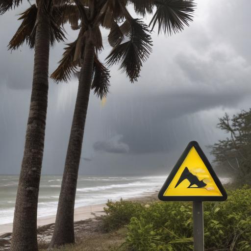
Amid the severity of the weather, it’s essential for residents to stay informed, take precautions, and heed local advisories to ensure their safety during these impending heavy rain events.