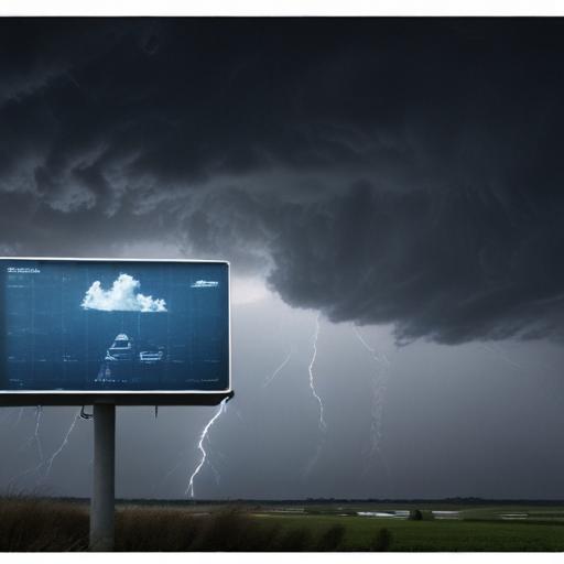
Severe thunderstorms accompanied by intense rainfall are currently affecting parts of the central and eastern United States, leading to hazardous conditions. A tropical storm named Erick is intensifying in the Pacific and is expected to hit Mexico as a hurricane. Meteorologists anticipate the strongest heat wave of the year to sweep through the region later this week.
The National Hurricane Center has extended a hurricane watch for areas from Punta Maldonado to Acapulco, indicating that hurricane conditions could be felt within the next 48 hours. They forecast Erick could potentially reach Category 3 strength upon landfall later this week, though there are notable uncertainties in its expected track and intensity.
In West Virginia, the aftermath of severe flash floods has been devastating. The state’s governor confirmed the seventh fatality, underscoring the rapid dangers of flooding. Flood-related deaths have risen sharply, serving as a tragic reminder of nature’s unforgiving power.
Meanwhile, Colorado experienced an unusual hailstorm early in the morning, with hailstones as large as tennis balls falling in certain areas. This unprecedented event occurred between 2 a.m. and 5 a.m., a time frame not typically associated with such storms.
As for the upcoming heat wave, predictions suggest temperatures could soar near the 100-degree mark across several major cities, marking the hottest conditions seen in over a decade. Cities like New York and Philadelphia might experience three-digit readings consecutively, raising concerns about heat-related impacts.
In summary, this series of extreme weather events serves as a stark reminder of the power of nature and the importance of preparedness in the face of potential disasters. While the situation is dire in some areas, there is hope as communities come together to support each other during these challenging times. Enhanced weather services and heightened awareness may aid in mitigating the impact of future storms.
