A weak front parked across the Southeast will keep shower chances elevated into the weekend, and dangerous surf and rip currents will remain a concern at the beaches due to Hurricane Erin.
Tonight
Expect scattered showers and thunderstorms to linger this evening and then taper off overnight. Overnight lows will be in the low to mid-70s under a mix of clouds and stars.
Saturday forecast
The stalled front and lingering moisture will keep rain chances high, with widespread afternoon showers and thunderstorms likely. Storms should move from west to east as an offshore flow continues. Highs will reach the upper 80s to around 90, with heat index values around 100. Expect heavy rain at times, gusty winds, and frequent lightning.
Coke Zero Sugar 400 forecast
There is a 40% chance of early evening showers in Daytona Beach for the Coke Zero Sugar 400. Skies are expected to clear later, with overnight lows in the upper 70s.
Sunday forecast
Similar unsettled conditions are expected to persist to finish the weekend, with a 70% chance of afternoon storms. Highs will stay in the low 90s, and humidity will keep it feeling hot and sticky. Storms remain capable of producing torrential rain, lightning, and brief gusty winds.
Next week outlook
The unsettled pattern continues into early next week as the weak front remains parked over the region. Daily afternoon storms are likely, with highs in the low 90s and heat index values around 100. Rain chances are expected to dip slightly as the front shifts southeast and another front approaches from the northwest. That second front should nudge temperatures down a touch to near 90° midweek, with rain chances around 40% before rising again toward the end of the workweek.
Tracking the topics
Hurricane Erin has moved into cooler waters and is forecast to become a post-tropical system by the start of the weekend. It will keep the rip current risk elevated along local beaches and the Eastern Seaboard for now. A tropical wave near the Leeward Islands has a high chance of development, though current forecasts suggest it won’t directly affect the U.S. Another wave in the Central Atlantic now carries about a 40% chance of development over the next week and will need to be watched as it moves toward the Caribbean in the first half of next week.
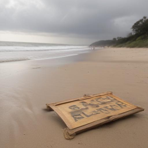
What to do at the beaches
Rip currents remain a primary hazard on area beaches. Beachgoers should heed lifeguards, swim with a buddy, stay near the shore if conditions look rough, and check the latest beach forecasts and radar updates before heading out.
Additional notes
If you’re planning outdoor activities, consider scheduling earlier in the day or after storms pass, and stay hydrated amid the heat. For real-time updates on storms, radar, and cameras, monitor local forecasts and satellite feeds.
Summary
A weekend of scattered storms and hot, humid afternoons continues as a weak front lingers over the Southeast. Erin’s lingering influence keeps surf and rip current risks elevated, while tropical activity in the Atlantic adds watchful interest for the coming days. A pattern of daily afternoon storms is expected to persist into early next week, with a gradual cooling trend possible midweek as fronts shift. Positive takeaway: the unsettled pattern brings cloud and rain relief potential for outdoor heat, and beachgoers should stay informed and cautious about currents and lightning.