HATTERAS, N.C. — As Hurricane Erin moves closer to the U.S. East Coast, North Carolina’s Outer Banks are under a Tropical Storm Warning and a Storm Surge Warning. Forecasters say outer bands from Erin could bring tropical-storm-force winds, heavy rain and dangerous surf to the area, even though the hurricane’s center is not expected to make landfall.
Warnings in effect
– Storm Surge Warning: Cape Lookout to Duck, North Carolina
– Tropical Storm Warning: Beaufort to Duck, North Carolina
– Tropical Storm Watch: north of Duck to Cape Charles Light, Virginia
Impact forecast
– Coastal communities are bracing for storm surge in the 2–4 foot range in the warned areas, with rising tides that could flood normally dry areas near the shoreline.
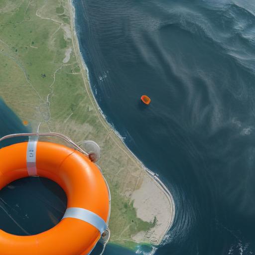
– Beachgoers should expect dangerous surf and rip currents, including waves potentially reaching heavy heights at local beaches.
– Tropical-storm-force winds could reach the Outer Banks, along with heavy rain and related flooding in low-lying areas.
Local response
– Hyde County has declared a local state of emergency for Ocracoke Island, with a mandatory evacuation for visitors and a morning evacuation for residents.
– Dare County has also declared a state of emergency and ordered the evacuation of Hatteras Island communities, including Rodanthe, Waves, Salvo, Avon, Buxton, Frisco and Hatteras. Evacuations for visitors began yesterday, with residents starting to leave today.
– Emergency management officials are poised to respond and are planning for pre-positioning of resources as forecast impacts become clearer. Residents and visitors are urged to follow local guidance and coastal officials’ instructions to stay safe.
What to know about Erin’s track
– Erin’s maximum sustained winds are around 110 mph, with some fluctuations possible in the coming days.
– The storm has grown in size, widening its wind field so tropical-storm-force winds may extend farther from the center than earlier forecasts indicated.
– Erin is currently located well offshore and moving northwest at about 7 mph. The center is forecast to pass east of the Bahamas and then move northward over the western Atlantic before turning northeast later this week.
Practical guidance for residents and visitors
– Monitor local officials’ directions and evacuate if advised to do so, especially if you are in low-lying or flood-prone areas.
– Stay out of the water: life-threatening rip currents and rough surf are expected along the coast.
– Prepare an emergency kit, secure property, and have a plan for communication with family members in case of power outages or travel disruptions.
Hopeful perspective
– Authorities are actively coordinating response and resources, and the immediate priority is safety. While Erin is offshore, the precautionary evacuations and warnings aim to minimize risk and ensure communities can recover quickly should conditions deteriorate.
Summary
Hurricane Erin is prompting Tropical Storm and Storm Surge warnings for the North Carolina Outer Banks, with evacuations underway and preparations in place as the storm’s outer bands threaten coastal areas with strong winds, heavy rain and dangerous surf. Locals are urged to heed warnings and stay safe as the forecast evolves.