Updated at 10 a.m. ET on Aug. 13, 2025
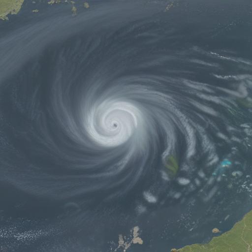
Tropical Storm Erin is still struggling to intensify, but it has a well-defined circulation. Dry, dusty air surrounds the system and cooler ocean temperatures currently hamper strengthening. Forecasters expect conditions to become more favorable for development in the near term.
The National Hurricane Center expects Erin to gradually strengthen, with a possibility of reaching hurricane strength by late tomorrow or early Friday. The exact timing of when the surrounding atmosphere will moisten enough to fuel more rapid organization remains an estimate.
A key point for those in the northeastern Caribbean is that Erin’s center is forecast to pass nearby, including Puerto Rico and the U.S. Virgin Islands, this weekend. Most forecast models and the official NHC track call for the center to stay offshore, but impacts such as wind, rain, and storm surge could still reach the islands.
Meteorologist Bryan Norcross notes that people in the northeast Caribbean should stay in close contact with forecasts, as a small deviation to the left could dramatically alter conditions on land. He also cautions that because Erin is expected to strengthen while just north of Puerto Rico, intensity forecasts carry more uncertainty than track forecasts. A stronger storm near land would raise the potential for higher impacts.
Looking further ahead, the general consensus is that Erin will turn northward after passing the Caribbean, staying offshore of the East Coast. The most likely scenario places Erin on a path between the Carolinas and Bermuda, although Bermuda residents should monitor updates for any possible turn toward the north. Regardless of exact path, Erin is projected to be a large, powerful system as it moves northward offshore of the United States, with energy transferring to coastal waters that will affect the mid-Atlantic and Northeast coast next Wednesday and Thursday.
Coastal residents are advised to watch for large, breaking waves and strong currents, including rip currents. Beach and surf advisories are likely to be issued as the storm’s energy influences the region. Even if the center stays well offshore, conditions at the coast and in the water can deteriorate quickly.
Forecasts also indicate that the outlook for late next week includes Coastal New England and Atlantic Canada staying vigilant for possible impacts, given the potential for Erin to take a closer approach than currently anticipated. Forecast errors in long-range projections are substantial, so officials emphasize the need to monitor official guidance for updates.
In the Gulf region, a weak disturbance in the Western Caribbean is forecast to move across the Yucatán Peninsula today and into the far southern Gulf tomorrow. While conditions could become somewhat conducive for organization, forecasters give this system only a low chance of development, with moisture surging into the area more than a solid cyclone threat.
Off the New England coast, forecasts had previously suggested a brief tropical appearance near Cape Cod, but the odds have fallen to essentially zero for Erin to develop tropical characteristics there.
What this means for you
– If you’re in Puerto Rico, the Virgin Islands, or nearby islands, monitor updates closely this weekend for any changes in track or intensity. Even offshore tracks can bring gusty winds, heavy rain, and rough seas.
– For the U.S. East Coast, remain aware of changing forecasts next week. While a direct hit is not currently anticipated, larger swells, rip currents, and coastal erosion are possible, especially along beaches and in bay areas.
– Mariners and beach-goers should heed official advisories and avoid venturing into rough seas or surf zones.
Summary
Erin remains a tropical storm with potential to strengthen into a hurricane as it approaches the northeastern Caribbean. While the center is expected to stay offshore of the U.S. coastline, the storm’s size and intensity could deliver elevated hazards to the Caribbean and parts of the mid-Atlantic and Northeast coasts next week. Officials emphasize ongoing monitoring and preparedness, as track and intensity forecasts carry uncertainty.
Additional notes and value
– Intensity forecasts are inherently less certain than track forecasts, especially when a system is near land. Small changes in moisture and wind patterns can significantly alter strength in a short time.
– People in the Caribbean should prepare for potential flooding rainbands and gusty winds, even if the center remains offshore.
– Residents from the mid-Atlantic to New England should keep an eye on forecast updates for possible changes in coastal weather conditions later next week.
– This situation highlights the importance of having a readiness plan for tropical threats, including securing outdoor objects, reviewing evacuation routes if applicable, and knowing how to receive official alerts.
If you’d like, I can tailor a brief, season-specific hurricane preparedness checklist for your region or craft a shorter, reader-friendly briefing for your homepage.