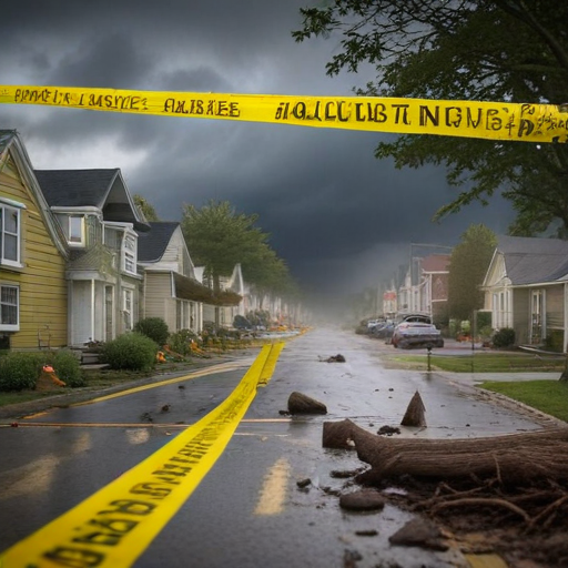
A powerful storm system has recently swept through the northwest United States, unleashing severe winds and heavy rainfall that resulted in widespread power outages and the tragic death of at least one individual. The National Weather Service classified this event as a “bomb cyclone,” known for its rapid intensification, and warned residents of the potential dangers associated with the storm.
The Weather Prediction Center reported that northern California and southwest Oregon are likely to experience substantial rainfall, with amounts forecasted between 12 to 16 inches (30 to 40 centimeters) by the end of the week. Thursday is expected to be especially intense, bringing the risk of flash floods, rockslides, and debris flows.
Alongside the rain, heavy, wet snow has been anticipated in the Cascade range and parts of northern California. Conditions have been described as blizzard-like, with snowfall rates reaching 2 to 3 inches (5 to 7.6 centimeters) per hour and wind gusts potentially hitting 65 mph (105 kph).
The impact of the storm was evident in northwest Washington, where falling trees caused significant damage. In one heartbreaking incident, a tree fell on a homeless encampment in Lynnwood, resulting in a fatality. Other reports included trees falling on vehicles in Seattle, with one individual temporarily trapped but later confirmed to be stable.
As the storm progressed, over 600,000 homes in Washington state experienced power outages, while Oregon and California also reported outages affecting thousands. Local authorities urged residents to take precautions, advising them to stay indoors, particularly in lower floors away from windows, until conditions improved.
Winds reached alarming speeds, with gusts hitting 101 mph (163 kph) off the coast of Vancouver Island and 79 mph (127 kph) recorded along the Oregon coast. The National Weather Service cautioned that risks posed by falling trees remained high during these wind conditions, emphasizing safety measures for those in affected areas.
In northern California, severe weather watches were issued, forecasting additional heavy rainfall and the potential for flash flooding in parts of the San Francisco Bay Area. The storm has prompted winter storm watches for mountainous regions, predicting significant snowfall that may lead to hazardous travel conditions.
While the storm has certainly wreaked havoc, it also serves as a reminder of the resilience of communities in the face of adversity. Residents and emergency services are working together to manage the aftermath efficiently. With improved forecasting and swift actions, the aim is to ensure that everyone remains safe and prepared during these challenging weather events.
In summary, while the storm has brought serious challenges, it highlights the importance of community preparedness and support in overcoming hardship.
