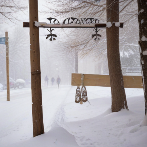
DENVER — Denver is experiencing significant snowfall, with rates reaching up to 2 inches per hour leading into late Friday evening. This weather event is causing major travel disruptions throughout the metro area and particularly across the Palmer Divide and eastern plains.
According to the National Weather Service (NWS) in Boulder, the snow accumulation in Denver had already surpassed the typical monthly total for November by Friday afternoon, with the city recording 8.9 inches at Denver International Airport. The average November snowfall for Denver is 7.3 inches, and an additional foot of snow is expected by the departure of this storm system on Saturday.
“Heavy snow will continue overnight into Saturday, resulting in road closures, especially on the plains,” stated meteorologist Stacey Donaldson from Denver7. “In Denver, we anticipate accumulations between 6 and 12 inches along with ongoing winter storm warnings,” she added.
Travel during the Friday evening commute is expected to be perilous, particularly on the eastern side of Colorado, where Limon has already seen 21.3 inches of snow, and Elizabeth recorded 20 inches. Donaldson emphasized that the heaviest snowfall has occurred east of I-25.
Meteorologists predict persistent snow throughout Friday and into Saturday morning, with the slowing off expected around noon on Saturday. By the end of this storm, totals may reach between 3 to 8 additional inches on Friday, followed by 1 to 3 inches on Saturday before skies begin to clear.
The entire Denver metro area, alongside much of the I-25 corridor, the Palmer Divide, and the eastern plains are under a winter storm warning, with major snow accumulations expected. Authorities recommend against traveling in the most heavily impacted areas, advising travelers to carry a winter storm preparedness kit containing essentials like tire chains, blankets, food, water, and a first aid kit in case of emergencies.
The NWS predicts “historic” snow totals in parts of Eastern Elbert and Lincoln Counties, reaching up to 3 feet in isolated areas. Lincoln County Sheriff Tom Nestor noted the hazardous conditions, emphasizing the dangers present on county roads.
North of I-76 will see less snowfall, but travel complications are still anticipated. A winter weather advisory is in place for northern Colorado counties, forecasting 2 to 8 inches in regions like Greeley and Fort Morgan.
As the storm subsides Saturday afternoon, conditions are expected to improve. Following this intense winter weather, temperatures are poised to rebound into the 50s starting Sunday, bringing a respite from the snow and creating optimal melting conditions.
In a hopeful outlook, Governor Jared Polis declared a disaster emergency ahead of the storm and activated the Colorado National Guard to assist with response measures. The coming days promise clearer skies and warmer temperatures, allowing residents to return to normal activities soon.
This storm is on track to be one of the most significant November snow events in nearly 30 years, bringing back memories of the two-day storm in November 1994, which recorded an impressive accumulation at Stapleton Airport.
The seven-day forecast indicates sunny skies and temperatures in the 50s from Sunday through next Thursday, offering a bright end to an otherwise stormy week.
