DENVER — Critical fire weather conditions are anticipated to persist across northeast Colorado through Friday, beginning tonight with largely clear skies and unusually warm temperatures. A robust ridge of high pressure is firmly established over the western United States, sustaining a dry and mild weather pattern. Overnight conditions will see winds gradually diminish, yet the arid atmosphere will set the stage for elevated fire danger again on Friday.
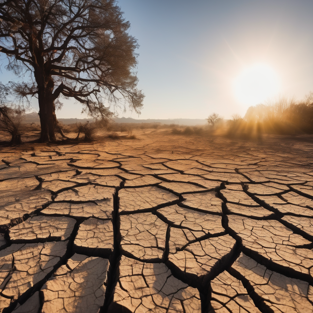
Friday’s forecast indicates warm, breezy, and extremely dry conditions, with afternoon highs reaching into the upper 60s to lower 70s—well above the seasonal average of 49 degrees for late February. Relative humidity is expected to drop to between 7 and 15 percent, compounded by gusty northwest winds that could reach up to 40 mph in some areas. Consequently, a widespread Red Flag Warning has been issued due to the dangerous combination of strong winds and critically low moisture levels. Outdoor burning is strongly discouraged, even in areas where winds may be lighter at times.
Looking ahead to Saturday, temperatures will remain warm and dry despite a backdoor cold front moving in from the northeast, which will slightly temper highs, particularly near the borders with Nebraska and Wyoming. Though generally lighter winds are anticipated, gusts of up to 30 mph may still occur near the Wyoming border and in the foothills. Fire weather risks will persist due to the continuing low humidity.
By Sunday, a cooling trend is expected as cooler air follows the front, bringing highs back to the 50s and lower 60s across northeast Colorado. An easterly flow may introduce more moisture, and with additional atmospheric energy, some light showers could develop. The northern mountains may even see light snowfall, though expected accumulations will likely be minor, resulting in limited impacts.
As early next week approaches, a significant pattern shift appears likely. The persistent ridge is forecasted to move eastward, allowing a series of disturbances to impact Colorado. The first of these systems is predicted to arrive around Tuesday night, offering a chance for rainfall on the plains and more snow in the mountains. A subsequent system may follow later in the week. While temperatures are forecasted to generally stay above normal, mainly in the 50s, cloud cover may bring some areas down into the 40s. The current stretch of unseasonably warm and dry weather will gradually transition into cooler and more unsettled conditions as the week progresses, with increased storm potential approaching next Friday for Denver.