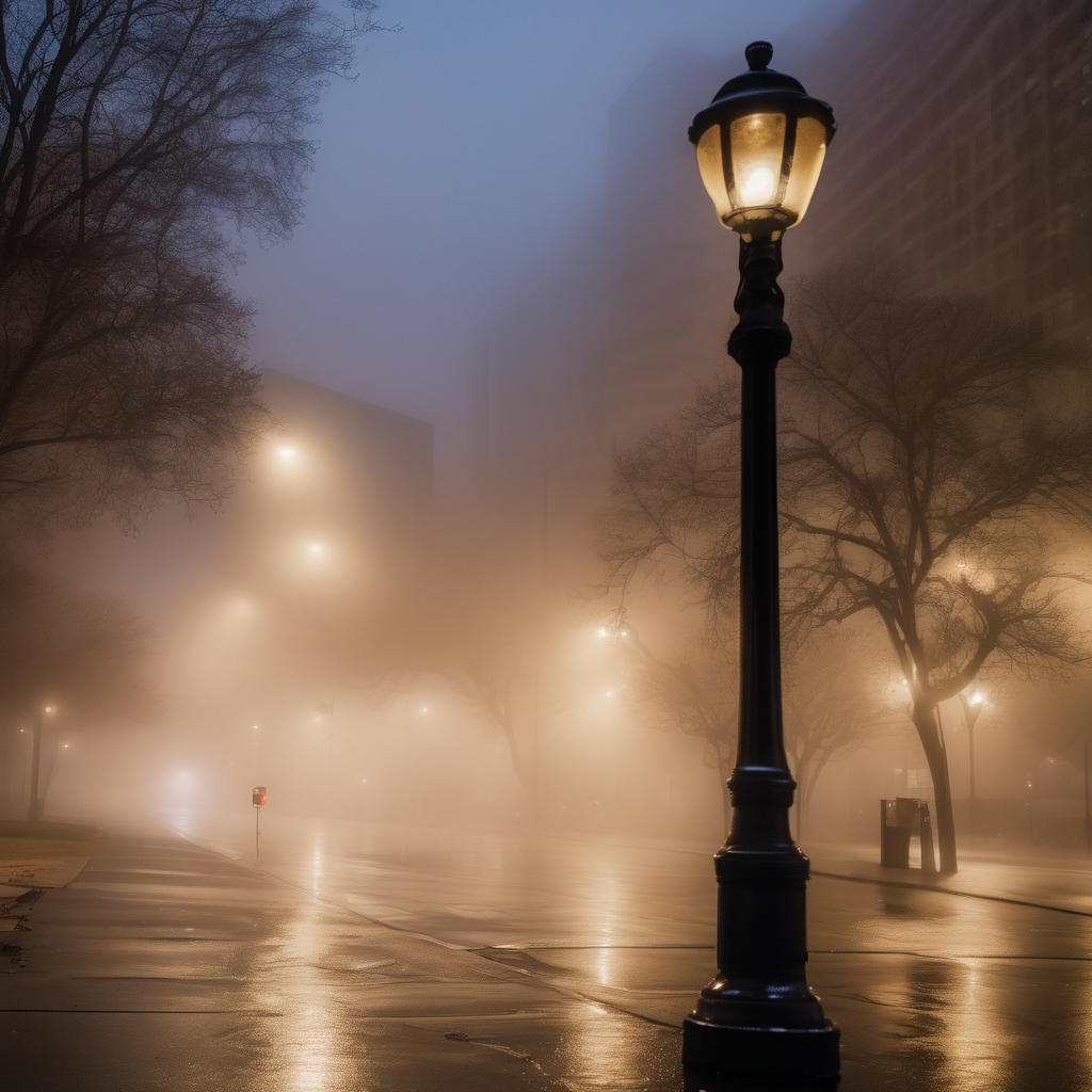
Dense fog will persist throughout much of the Chicago area today, significantly affecting visibility and temperatures, which are expected to hover in the 40s. This weather phenomenon is causing travel difficulties, making it crucial for motorists to exercise caution when on the roads. While the area has seen some drizzle recently, there is little chance for significant rainfall today, with the heavier precipitation anticipated to arrive tomorrow.
A dense fog advisory is currently in place until 3 p.m. across the majority of the region, an unusual occurrence for this time of year. Conditions may only marginally improve tonight into tomorrow morning, as the fog is expected to linger.
Tomorrow morning, the situation will change as showers and thunderstorms are forecasted to impact the area. Following this initial round of precipitation, there will be several dry hours during the day, with temperatures climbing to around 60 degrees, though it is unlikely they will reach the 70-degree mark due to lingering fog and cloud cover earlier in the day.
Another series of showers and storms is expected to arrive tomorrow night. Should these storms develop later, the risk of severe weather remains low; however, if they arrive sooner in the evening, a higher risk could emerge.
By Saturday morning, the storms are anticipated to move out, ushering in clearer skies, with temperatures expected to drop from a high near 60 degrees into the 50s by the afternoon. Sunday and Monday promise sunny weather, with temperatures in the vicinity of 60 degrees on Sunday and mid to upper 60s on Monday.
Looking ahead, a new storm system is expected to roll in with rain and a cold front Tuesday into Wednesday, with highs on Tuesday likely reaching into the 60s before cooling to the low 50s on Wednesday. This alternating pattern of weather brings both challenges and a refreshing variety, as residents can look forward to sunnier days at the start of the weekend.