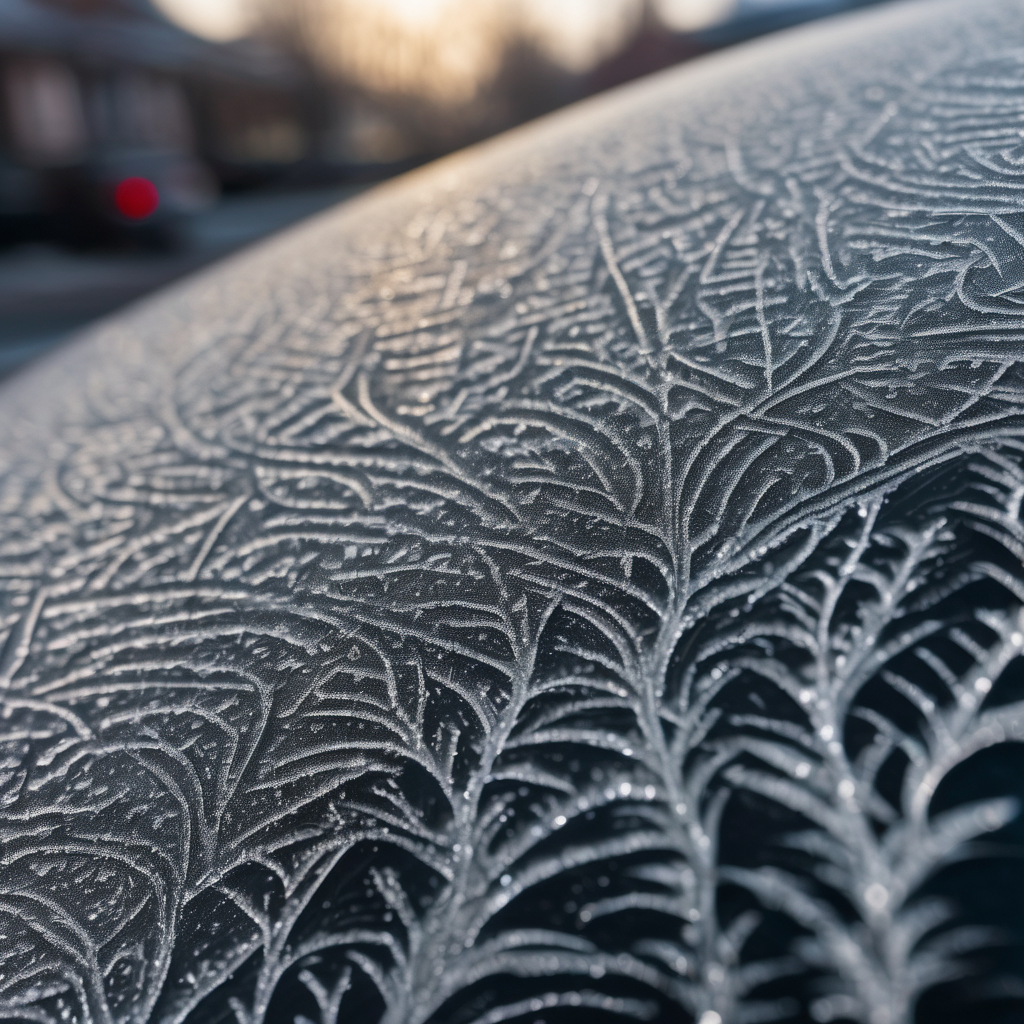
ROCHESTER, Minn. – Overnight into Wednesday morning, residents can expect areas of dense fog and patchy freezing fog, which could impact travel conditions. Visibility is anticipated to fall below one mile in many locations, and with temperatures dipping below 32 degrees, the potential for freezing fog could pose safety concerns for commuters.
The freezing fog is expected to develop between midnight and 8 a.m. on Wednesday, potentially leading to slick conditions, particularly on untreated surfaces such as bridges and overpasses. Motorists are advised to exercise caution during their morning commutes.
Looking ahead, the upper Midwest will see two weather systems influencing the region over the next several days. The first system is expected to bring rain and possibly a minor winter mix on Thursday and Thursday night, with isolated showers likely in the late afternoon and evening. Rainfall is predicted to range from 0.05 to 0.25 inches across southeastern Minnesota and northeastern Iowa. There is also a possibility that temperatures could allow for a transition from rain to wintry mix later in the evening.
Following this initial system, another weather pattern will emerge from the Rocky Mountains. Cold air is expected to allow for snow across the area from Friday night into Saturday. However, forecasts indicate low confidence regarding snow accumulations, with trends suggesting the storm may shift further south and east than originally anticipated. The most optimistic scenario for Friday night through Saturday might yield minor accumulations of a couple of inches, though forecasts indicate this could change as more data becomes available by late Wednesday and Thursday.
As the winter weather unfolds, the community remains hopeful for a clearer understanding of potential impacts and travel conditions in the days ahead.