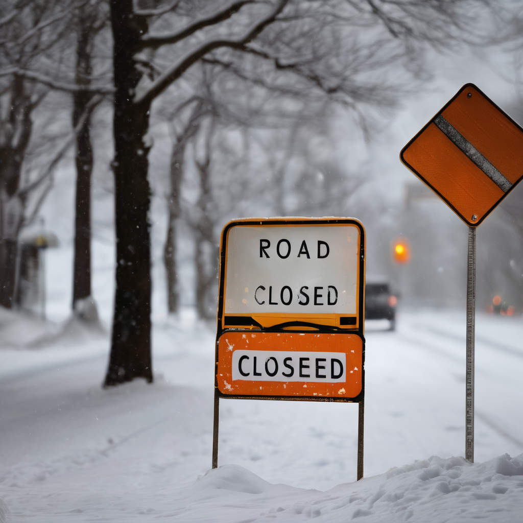
Connecticut experienced a significant snowstorm on Sunday, with more than a foot of snow accumulating in most areas, and forecasts indicate that additional snowfall is on the way. The storm began early in the morning around 8 a.m. and intensified throughout the day, with snow falling at rates of 2 to 3 inches per hour, quickly covering roads and creating hazardous travel conditions.
In response to the dangerous weather, Governor Ned Lamont announced a ban on commercial vehicles traveling on Connecticut highways starting at noon on Sunday, a measure that will stay in effect until further notice. Additionally, state executive branch office buildings will be closed on Monday, and Level 2 state employees have been instructed not to report to work.
Multiple cities and towns across Connecticut also opted to close their municipal buildings and advised employees to refrain from coming in on Monday due to the ongoing winter weather.
While areas along the shoreline experienced a mix of snow and sleet, forecasts predict that inland regions will see mostly snow. The heavy snowfall is expected to taper off after 10 p.m. on Sunday, followed by intermittent snow and sleet throughout the overnight hours, remaining mostly light into early Monday morning.
As the storm continues, it is anticipated that snow will redevelop mid-morning, bringing an additional 1 to 3 inches of accumulation, especially in the northern parts of the state. By the end of the storm, total snowfall in many towns could approach 18 inches, with the potential for even higher totals in areas that receive only snow, while shoreline regions may accumulate around a foot or slightly more.
As temperatures remain cold overnight, staying in the 20s on Monday, residents are encouraged to take precautions and stay safe in the unpredictable winter weather.
