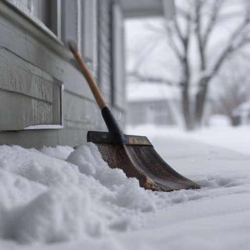
On Thursday morning at 7:35, the National Weather Service (NWS) took to social media, asking the public to share their experiences with ice and snow across the state. The responses quickly flooded in, showcasing varying amounts of snowfall from different locations. A resident in Blodgett, Oregon, shared that sleet had begun at 5 AM, and snow was still falling. Another individual from Yoder provided a photo of their snow-laden driveway stating the snow was “steadily coming down.” Reports from Madras indicated that at least four inches of snow had accumulated, with heavy snowfall continuing.
By mid-morning, over 600 individuals had engaged on Facebook, sharing their snowfall measurements often accompanied by a tape measure for accuracy. For example, one user reported 1.5 inches in the Hillsboro area at a 500-foot elevation.
Historically, accurate weather forecasting can be challenging, especially when temperatures hover around 32 degrees Fahrenheit. Colby Neuman, a meteorologist from the Portland office, emphasized that slight variations in temperature can significantly impact the effects of a winter storm. The NWS utilizes advanced radar technology to monitor precipitation but acknowledges that radar limitations can hinder accurate readings, particularly in areas farther from the radar’s location in the West Hills.
To enhance their understanding of the weather conditions, NWS greatly values “ground truth” data — real-time reports and measurements from the public. The influx of snowfall reports helped the meteorological team adjust their forecasts for the Portland Metro area and parts of Southwest Washington, indicating that the storm was delivering more snow and less freezing rain than initially anticipated.
While the storm has caused disruptions, including a significant pile-up on Interstate 84, the reduced amount of freezing rain has lessened the likelihood of tree damage and power outages. The NWS encourages individuals to continue submitting snow measurements, noting that photos including a tape measure can aid in a national snow analysis.
Meteorologists predict another wave of precipitation later Thursday, which may bring either snow or freezing rain. The ongoing storm represents both the unpredictability of winter weather and the collaborative relationship between meteorologists and the community in observing and reporting conditions.
In summary, while severe, the storm presents an opportunity for residents to engage in community science by contributing to real-time data collection. This collaboration not only assists local forecasters but also fosters a sense of shared experience during challenging weather conditions.