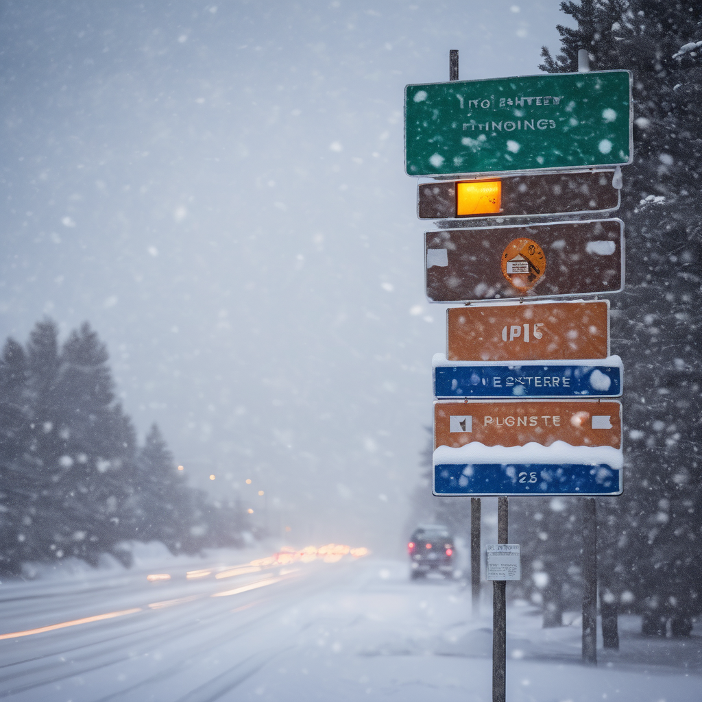
Thursday and Friday are anticipated to bring significant snowfall across a large part of Colorado, with the potential for major travel disruptions along key routes such as I-25 and I-70, particularly if the National Weather Service’s high-end snowfall forecast, which has a 10% chance of occurring, proves accurate.
For the densely populated Front Range, snow will likely begin to increase during the late afternoon hours on Thursday, continuing through the evening and into the overnight hours. As snow accumulation is expected to peak, the heaviest snowfall is projected to occur south of Denver along the I-25 corridor. Authorities have warned that the Thursday evening and Friday morning commutes may be challenging, especially in the Pikes Peak region.
The National Weather Service has provided forecast maps detailing both the expected snowfall scenario (with an 80% likelihood) and the high-end scenario (with just a 10% likelihood) extending through Sunday morning. It is important to note that most of the snowfall is expected on Thursday and Friday, with a dry weekend ahead.
In the expected snowfall scenario, Denver is predicted to receive about 2 inches, while Colorado Springs could see between six and eight inches. The area between Castle Rock and Colorado Springs may receive between six and 12 inches, and the I-70 corridor could garner four to six inches of snow. This scenario suggests that travel impacts would be limited compared to the high-end forecast.
In contrast, the high-end scenario foresees up to six inches of snow in Denver, with Castle Rock potentially receiving 11 inches and Colorado Springs anticipated to see between eight and 12 inches. Pikes Peak could see a substantial accumulation of 18 to 24 inches, while the stretch of I-25 between Pueblo and Trinidad might receive between eight and 12 inches. Portions of the I-70 corridor could also receive significant snow, with estimates of eight to 12 inches around the Eisenhower-Johnson tunnel complex. Such conditions would likely result in widespread travel delays across the state.
As a precaution, a Winter Storm Warning has already been issued for the Pikes Peak region and parts of southern Colorado, accompanied by widespread Winter Weather Advisories. The storm seems to favor the Front Range and I-25 corridor over the state’s ski resorts, with Snowmass projecting to receive the most snowfall in the next five days at around nine inches.
Currently, Colorado’s statewide snowpack stands at approximately 63% of the norm for this time of year, marking one of the lowest levels since 1987, except for two years, 2000 and 2018. However, if the heavy snowfall materializes as forecasted, it could significantly benefit local water supplies and ecosystems.
Stay updated with the latest forecasts from the National Weather Service as this winter weather pattern develops.