Monday’s forecast indicates a chilly start for Southeast Texas, with morning temperatures ranging from the 30s to the 40s. Residents are advised to bundle up with jackets, sweaters, and possibly beanies, as gusty winds from the north will create wind chill factors that make it feel as if the temperature is in the 20s and 30s.
The coldest regions will be north of Harris County, where Polk, Walker, Trinity, and Madison counties are under a Freeze Warning until 9 AM Monday. As the day progresses, temperatures are expected to rise only into the 50s and 60s, with winds gradually calming down throughout the afternoon. However, the chill will return in the evening, with wind chills again dropping into the 30s and 40s in Houston.
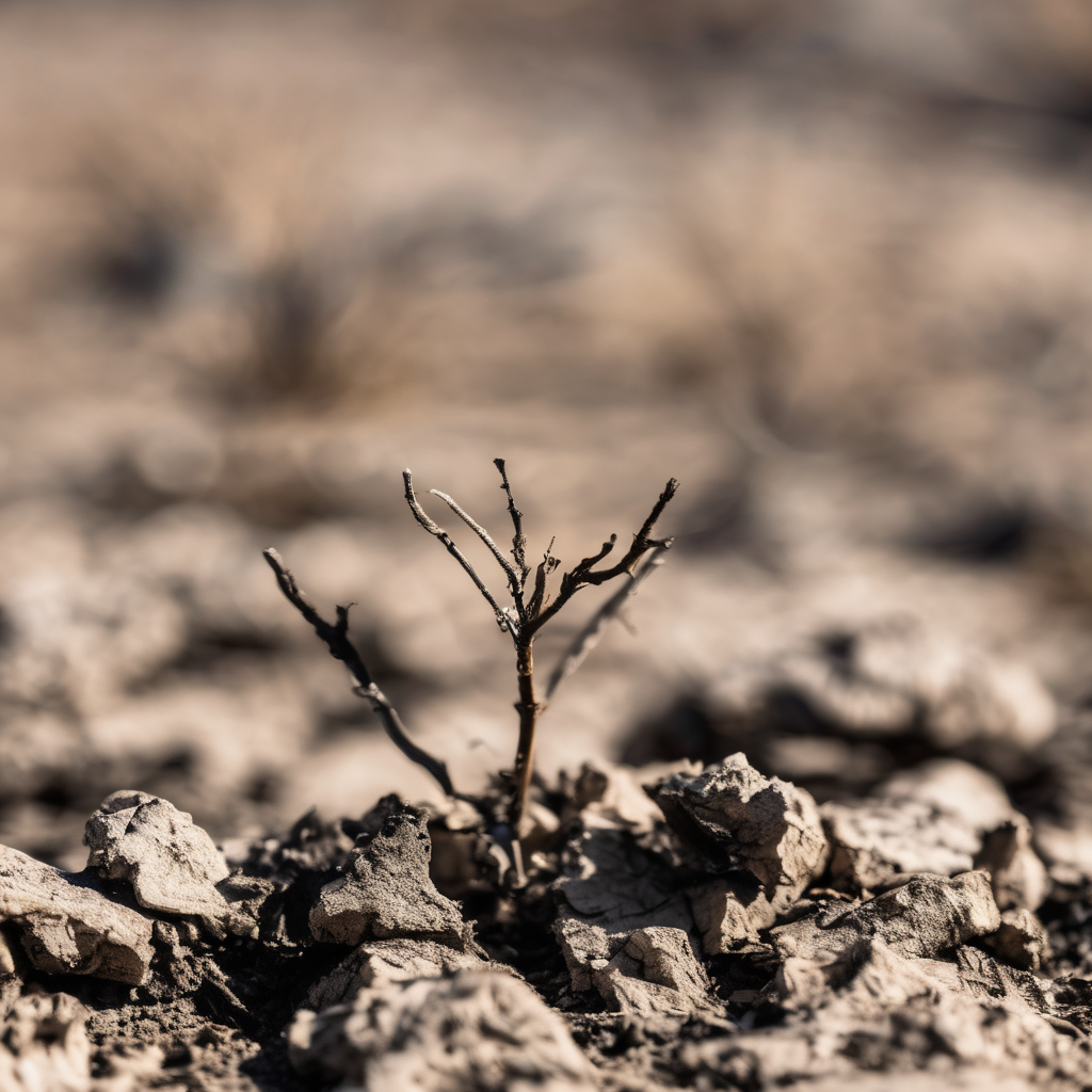
Adding to the caution, the National Weather Service has issued a Red Flag Warning for all of Southeast Texas due to strong winds drying out the atmosphere, raising the risk of fire danger. Currently, over 80% of the region is facing drought conditions, with some western areas experiencing extreme drought. This combination of dry vegetation, low humidity, and wind means that even small sparks could lead to fast-spreading fires, and activities involving open flames are discouraged.
Looking ahead to Tuesday, Southeast Texas will continue to experience cold temperatures in the 30s in the morning, but by the afternoon, warmer weather in the 70s is anticipated. While frost may form primarily in areas north of Houston, the colder air should only linger temporarily. By midweek, temperatures are projected to reach near 80 degrees, marking the end of the cold spell.
As the week progresses, rain chances are forecasted to return next weekend; however, it is unlikely to provide significant relief from the ongoing drought conditions in Southeast Texas. Community members are encouraged to share any interesting weather phenomena in their neighborhoods with KPRC 2 at Click2Pins, fostering a sense of engagement during this fluctuating weather period.