The Chicago area is bracing for a return to humid conditions, with dew points set to rise and the possibility of strong-to-severe thunderstorms on Sunday. The NBC 5 Storm Team forecasts that dew points may reach the low 70s, coupled with daytime temperatures expected to soar into the low 90s. This combination could push the heat index above 100 degrees, marking a warm conclusion to the weekend and paving the way for thunderstorms in the afternoon and evening.
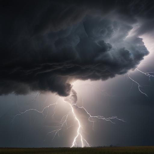
Any thunderstorms that do develop could be isolated but may still intensify due to the heat and humidity. A “marginal” risk of severe weather has been issued for areas north and west of Chicago by the Storm Prediction Center. A weather advisory is already in effect for northern and central Cook County, where faster-moving thunderstorms have been reported, creating gusty winds of up to 45 miles per hour, small hail, and heavy rain.
Several suburbs, including Winnetka and Evanston, may be affected, and storms pose a potential disruption to the festivities at the Pride Parade taking place on the North Side. The primary hazards from these thunderstorms are anticipated to be gusty winds and substantial rainfall.
Looking ahead, the Chicago area faces another round of severe storms potential on Monday, with the entire region under a “marginal” risk, again highlighting the threats of gusty winds, heavy rains, and frequent lightning. These storms are expected to accompany a cold front, which will provide a much-needed relief from the humidity and bring down temperatures to the low 80s by Tuesday under mostly sunny skies.
As the week progresses, the forecast indicates a warming trend as temperatures are expected to rise again, approaching the low 90s in time for the Independence Day holiday.
Residents are encouraged to stay informed with the latest weather updates from the NBC 5 Storm Team and download the NBC Chicago app for real-time weather alerts.