Charlotte, N.C. is bracing for a substantial winter storm that is set to begin Friday night and persist into Saturday night. The storm is expected to bring snow to the area, starting in the mountains on Friday afternoon before extending to Charlotte and the surrounding Piedmont late Friday night into Saturday morning. The heaviest snowfall is anticipated on Saturday morning through early afternoon, with precipitation tapering off across the region by Saturday evening.
Forecasts indicate that Charlotte could see between 3 to 6 inches of snow, with the potential for slightly higher accumulations along the I-85 corridor. Areas east of I-77 are likely to experience the most significant snowfall, while mountainous regions may receive 4 to 8 inches, potentially more in localized bands.
This winter storm is characterized by a noteworthy setup that combines several atmospheric factors. A strong polar upper-level low descending into the Mississippi Valley is creating lift in the atmosphere, leading to more effective snow formation. Simultaneously, a coastal low is forming along the Carolina coast, positioning Charlotte in an ideal zone where cold air and moisture converge to fuel the storm. With temperatures already below freezing, the snow is expected to stick upon contact, resulting in potentially hazardous road conditions.
Specific factors may influence the final snowfall totals. Snow could increase if the upper-level low passes favorably over the Southern Appalachians or if the mesolow follows an optimal path just south of Charlotte. Conversely, lower snowfall amounts could occur if the coastal low tracks too far offshore, reducing moisture availability or if dry slots develop, limiting snow accumulation in some areas.
Along with the snowfall, residents should prepare for extremely cold temperatures that will follow the storm. Saturday highs are projected to be in the mid-20s for Charlotte, with mountain areas experiencing single-digit temperatures. Saturday night could see lows dip into negative digits in the mountains and the low teens in Charlotte. Wind chills are forecasted to range from -10 to -22 in the mountains and from 0 to -7 in Charlotte, leading to an Extreme Cold Watch for the entire region.
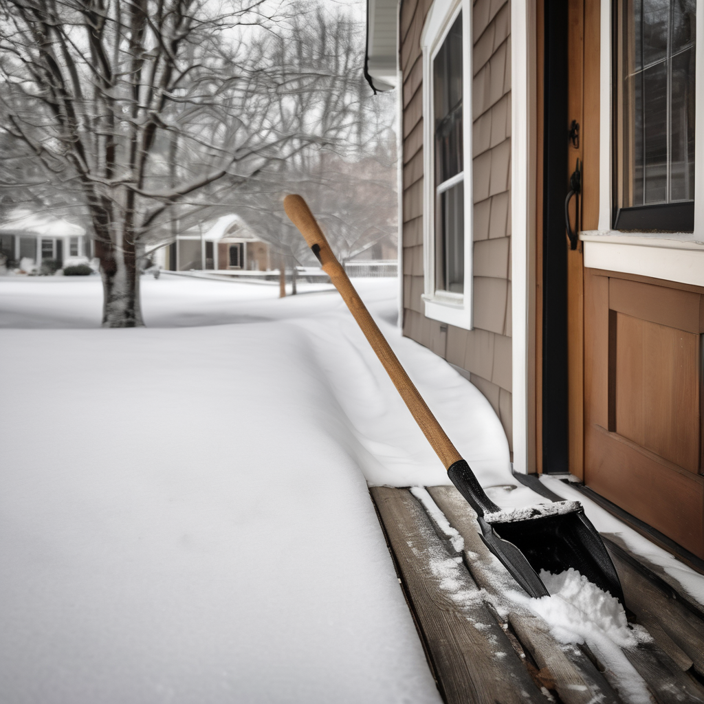
Officials are urging residents to dress warmly, check on vulnerable family members, and exercise caution while traveling. Despite the possibility of lower snow totals, slick roads are still expected due to the cold conditions and the snow’s rapid accumulation. Isolated power outages may occur, so it’s advised to remain prepared.
This unique and impactful winter storm poses a combination of significant snowfall and extreme cold, marking an unusual weather event for the Carolinas. Keeping abreast of updates will be essential as conditions develop through Friday and Saturday.