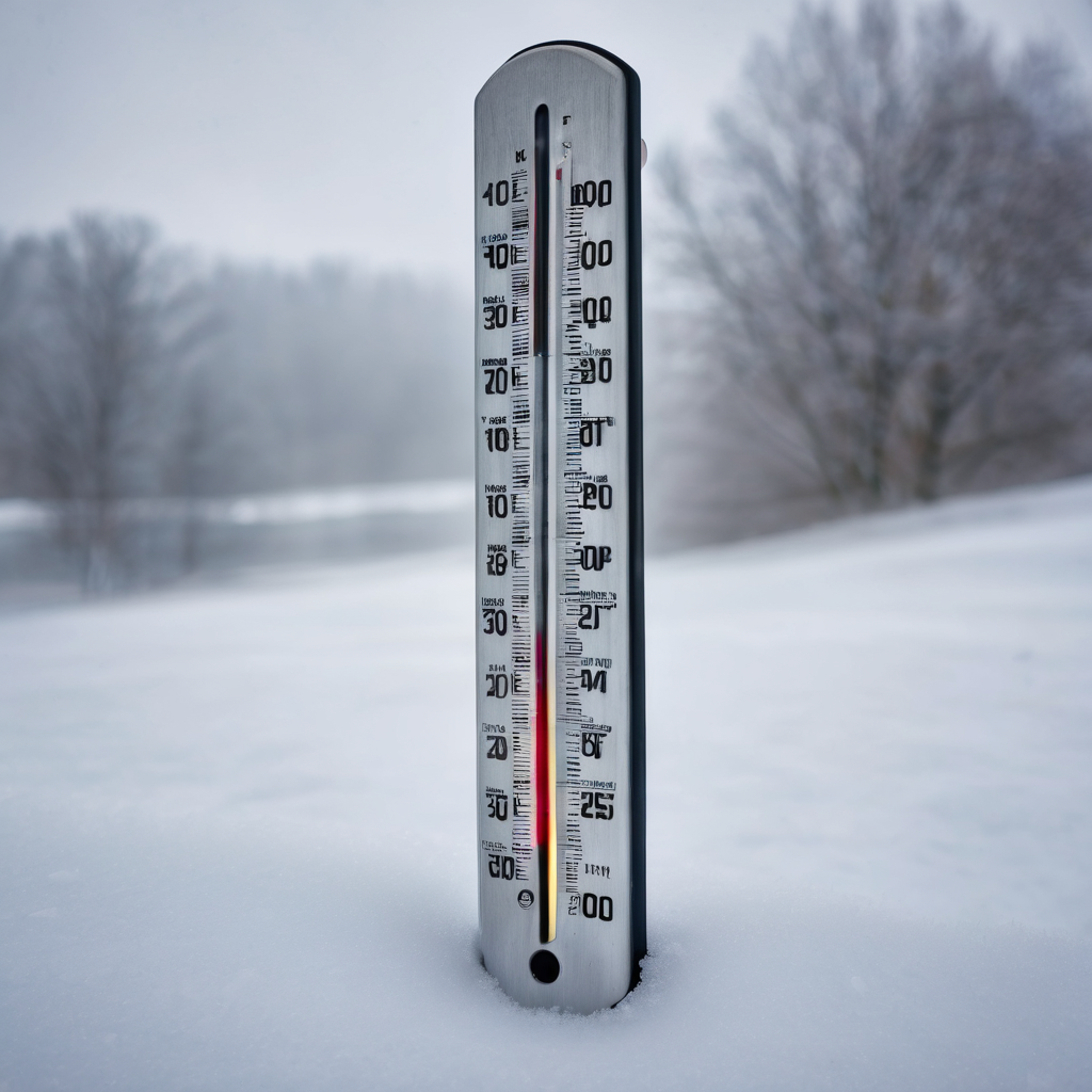
Central Pennsylvania is in for a wild weather weekend, according to the National Weather Service, with temperatures experiencing a rollercoaster effect. After plunging to freezing temperatures on Saturday night, residents can expect a significant warm-up, reaching into the 60s by Sunday, though a slight chance of rain could increase overnight.
Monday will bring another shift, with temperatures settling in the 50s. This break in the weather is anticipated to allow Pennsylvanians a chance to finish outdoor tasks before the weather takes another turn. By Monday afternoon, strong winds are forecasted, with gusts ranging from 45 to 55 miles per hour. These winds will herald an abrupt drop in temperatures back to freezing conditions by sunset.
Tuesday will continue this trend, as strong winds and a potential coating of an inch of snow remain in the forecast for central Pennsylvania. Areas in the northern part of the state might see heavier snowfall, as noted by the National Weather Service.
As the week progresses from Tuesday to Thursday, daytime highs will hover around freezing, with nighttime temperatures plunging into the 20s. Snow showers are expected to persist through Thursday, accompanied by cooler temperatures and wind chills, as the region approaches New Year’s Eve and the start of January. Residents are advised to stay prepared for the wintry conditions that may impact celebrations.
This fluctuating weather pattern serves as a reminder of the dynamic climate typical for central Pennsylvania this time of year, encouraging locals to be vigilant and ready for whatever Mother Nature has in store.