As we reach the midpoint of the week, residents are being treated to a beautiful day filled with sunshine. However, changes in weather patterns are on the horizon as a cold front is set to sweep into the region tonight.
Currently, the weather shows a clear sky, but this will soon give way to the approaching cold front expected tomorrow. Fortunately, forecasts indicate that once the front passes, a high-pressure system will follow, promising clearer skies and warmer conditions just in time for the weekend.
Rain is anticipated to start overnight, with conditions becoming widespread by the morning commute, according to projected radar images for 8 a.m. Tomorrow afternoon, while the storm will begin to dissipate, some scattered showers may linger throughout the region, easing into the evening hours. Most areas can expect about a quarter of an inch of rain, which, though not significant, will still be noticeable.
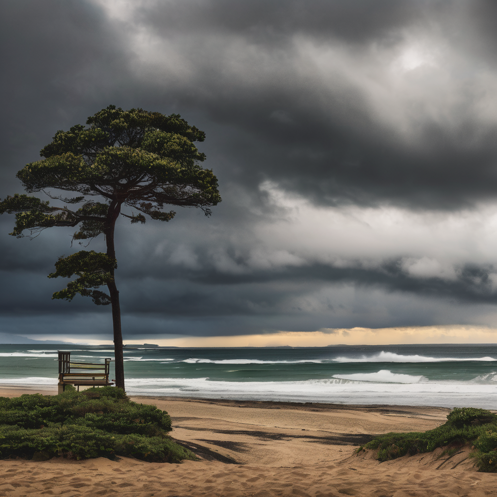
In terms of temperatures, Thursday will see highs primarily in the mid-50s. Additionally, a high surf advisory has been issued from 3 p.m. Thursday through 3 a.m. Monday for all western beaches, as large waves reaching between 12 to 16 feet are expected, alongside hazardous rip currents.
Looking ahead to the weekend, the incoming high-pressure system will lead to a modest warming trend, ushering in mostly sunny skies. Early next week will continue this pattern of warmer temperatures and sunshine. As we approach the week of Thanksgiving, the outlook remains dry with temperatures projected to be at or above normal.
Residents are advised to stay alert for the rain expected tomorrow. Wishing everyone a pleasant evening on the Central Coast!