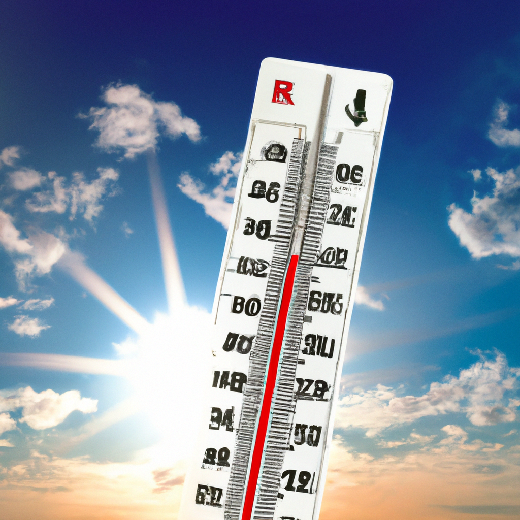
Birmingham, Ala. – Today is another First Alert Weather Day due to dangerous heat levels.
The National Weather Service has extended a Heat Advisory for central Alabama, continuing through this evening. This advisory comes in response to higher than average temperatures and unusually humid conditions. The First Alert AccuTrack Satellite and Radar report partly cloudy skies and mostly dry conditions. Temperatures are expected to rise into the mid-90s this afternoon with partly cloudy skies and southwest winds at 5 to 10 mph.
First Alert Weather Days will persist through Friday: All of central Alabama will face dangerous heat levels on Friday, making it another First Alert Weather Day. Temperatures are forecasted to climb into the mid-90s with a heat index exceeding 105°F. Some parts of west Alabama might experience a heat index near 110°F due to recent rainfall and high humidity, making it harder for bodies and A/C units to stay cool. Stay hydrated and avoid strenuous outdoor activities. Overnight lows will remain high, with most areas only cooling down into the mid to upper 70s. Expect partly cloudy skies and a 20% chance of heat-activated showers or storms.
7 Day Forecast:
Next Big Thing: Showers and thunderstorms are likely from Friday evening into Saturday as a weak cold front approaches Alabama. While widespread rain is less likely, scattered showers and storms are possible in northern Alabama Friday night into Saturday morning. Some storms could be strong or severe, with threats including damaging winds, frequent lightning, and heavy rainfall potentially causing isolated flooding.
Saturday will remain hot with highs in the low-to-mid-90s. The greatest chance for rain will be along and south of Interstate 20/59 Saturday afternoon and evening.
Rain chances stay low on Sunday, with only a 20% chance for rain mainly in southern Alabama. Highs will be in the low-to-mid-90s. The heat is expected to continue into the first full week of August.
Next week will likely follow a typical summertime pattern in Alabama with highs in the mid-90s and a chance of isolated pop-up thunderstorms.
Tropical Update: The National Hurricane Center is monitoring a weak tropical wave in the central Atlantic with a 60% chance of developing into a tropical depression or storm in the next five to seven days as it nears the Bahamas and the Florida Peninsula.
Long-range models suggest development, but it is unclear if it will remain in the Atlantic or move into the Gulf of Mexico. Depending on the strength of a Southeastern trough, the wave could either enter the Gulf or stay in the Atlantic, moving along the Southeastern U.S. coast. Currently, there are no immediate concerns for Alabama or the Alabama Gulf Coast, but this development will be monitored closely.
Hurricane season typically peaks in August and September and ends on November 30.
Stay updated with the latest weather information by downloading the WBRC First Alert Weather app on Android and Apple devices.
For news alerts, download the app from the Apple App Store and Google Play Store or subscribe to our email newsletter.
Copyright 2024 WBRC. All rights reserved.