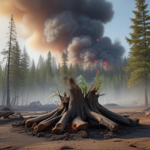
Since mid-May, NOAA satellites have been diligently tracking the alarming heat signatures and extensive smoke plumes resulting from wildfires devastating Canada. These fires, primarily ignited by heat, drought, and dry conditions, have marked the start of an unprecedented wildfire season, particularly affecting Manitoba, Ontario, and Saskatchewan. However, blazes have also extended to provinces such as British Columbia, Alberta, Quebec, and Newfoundland and Labrador, prompting thousands to evacuate and leading to states of emergency in Manitoba and Saskatchewan. The smoke from these fires has significantly affected air quality across the United States, drifting southward and worsening conditions in several states.
Wildfires are an inherent feature of Canada’s boreal forests, dominated by coniferous trees in high-latitude areas. Unfortunately, global temperature increases are resulting in more frequent, intense, and longer-lasting wildfires. The 2023 Canadian wildfire season was recorded as the most destructive ever, with 2024 being among the worst. By June 5, 2025, 1,746 wildfires had been reported, consuming an alarming 2.6 million hectares, an area larger than Vermont.
While many fires are triggered by natural phenomena like lightning, this year’s situation hints at a significant contribution from human activity, although the extent of this impact remains uncertain. Meteorologists warn that the combination of strong winds and dry conditions could exacerbate the current wildfire crisis. Canada’s wildfire season typically runs from May through September, with continued vigilance required as it unfolds.
The ramifications of these wildfires have extended south into the United States. The National Weather Service issued air quality alerts across the Upper Midwest, including states like Minnesota, Wisconsin, and Michigan, where air quality has deteriorated to unhealthy levels in some areas. By early June, parts of North Dakota, Montana, and South Dakota also reported concerning air quality levels, highlighting the widespread impact of the Canadian wildfires.
In addition to monitoring smoke, NOAA satellites have captured other significant occurrences linked to the wildfires, such as the emergence of pyrocumulonimbus clouds over Alberta. These thunderstorms, formed by intense heat and smoke rising from the fires, exemplify the complex interactions within wildfire dynamics.
As wildfires become more severe, NOAA satellites play a crucial role in safeguarding communities and managing natural disasters. The data gathered assists in understanding fire dynamics, tracking smoke dispersion, and improving air quality forecasts, which is vital for firefighting strategies. The critical satellite imagery provided by NOAA serves as a lifeline in effectively responding to evolving fire conditions.
This complex situation underscores the importance of continued monitoring and research, emphasizing the urgent need for climate resilience strategies as wildfires escalate in both frequency and severity. By leveraging advanced satellite technology, we can better prepare for future challenges posed by wildfires while working towards healthier, more resilient communities.
