SAN FRANCISCO – Northern California experienced heavy rainfall and damaging winds from a powerful atmospheric river over the weekend, resulting in over 200,000 residents losing power across the state.
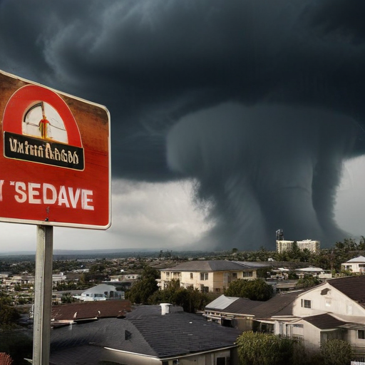
The San Francisco Bay Area faced numerous challenges as the storm moved in on Saturday morning, including a rare Tornado Warning issued by the National Weather Service (NWS). This alert was triggered by Doppler radar indicating rotation within a strong thunderstorm, impacting more than a million people in downtown San Francisco just before 6 a.m. It is believed to be the first Tornado Warning issued in the city since records began. Fortunately, the threat subsided within about 20 minutes without any reports of tornado touchdowns or damage. However, NWS meteorologists dispatched a storm survey team to assess potential storm damage in the broader region.
The thunderstorm produced impressive wind gusts, with San Francisco International Airport recording a peak gust of 83 mph—marking it as the fourth-highest gust recorded at that location. Other gusts reached 78 mph in Monterey and 59 mph in Oakland.
Rainfall ranged from 1-2 inches in the Bay Area, causing temporary flooding on roads and underpasses. Livermore in the East Bay saw cars submerged, and standing water was reported on key freeway interchanges in Dublin and along major highways including Interstate 280, U.S. Highway 101, and California Highway 35.
In Scotts Valley, south of San Francisco, an EF-1 tornado was confirmed with winds reaching 90 mph, leading to debris scattered across the roads and flipped vehicles captured in photos and videos.
The NWS had earlier identified the Bay Area as a Level 1 out of 5 severe weather threat, warning of the potential for severe thunderstorms that could bring large hail, high winds exceeding 55 mph, along with isolated tornado risks.
To the east, the Sierra Nevada region was bracing for heavy snowfall, with Winter Storm Warnings in effect and predictions of 8-20 inches accumulating in higher elevations. Wind gusts were anticipated to exceed 120 mph atop mountain ridges and over 45 mph in valleys, with one gauge at Ward Peak clocking 159 mph.
While California faced significant weather challenges, western Washington also experienced strong winds, with gusts reaching up to 71 mph recorded at Whidney Island’s Naval Air Station and 62 mph in Forks. At the peak of the storm, over 90,000 homes in Washington reported power outages. NWS Seattle cautioned that dangerous surf conditions combined with low atmospheric pressure could lead to severe coastal flooding, with waters expected to reach depths of 2.5-3.5 feet during high tide.
Despite the challenging weather, it is promising to note that conditions are expected to improve in the Bay Area and Northern California as the storm moves east. While another atmospheric river is anticipated early this week, forecasts suggest it will be less intense than the recent storm.
This situation emphasizes the resilience of communities in the face of severe weather, and ongoing improvements in forecasting technology, such as Doppler radar, help keep the public informed and safe during these unpredictable events.
