Buffalo, N.Y. – A winter storm is poised to bring significant snowfall and challenging conditions to Western New York, particularly in densely populated Erie County. A Winter Storm Warning is in effect for the entire region, excluding Allegany County, starting Sunday evening and lasting through Wednesday.
Meteorologists from the National Weather Service (NWS) indicate that while light lake effect snow is expected throughout the day and night, the situation will intensify late tonight into Monday morning. “Snow will become better organized and intensify, especially tomorrow morning,” predicts meteorologist Steve Welch.
Blowing and drifting snow pose potential hazards during the storm, especially where lake effect snow bands establish. Initial forecasts show that on Monday morning, the lake band will primarily impact areas northeast of Lake Erie but is expected to shift southward throughout the day. This transformation will focus snowfall over central and southern Erie County, including the Buffalo Southtowns, as well as parts of Chautauqua and Cattaraugus counties.
Accumulation forecasts are significant, with up to 20 inches predicted in certain regions, particularly across the Buffalo Southtowns and northwest Wyoming and southwest Genesee counties. Outside these areas, snowfall of 6 to 12 inches is likely for northern and southern Erie County, as well as extreme northwest Chautauqua and Cattaraugus counties. Snowfall rates may reach up to 2 inches per hour, creating heavy, wet snow conditions.
Accompanying the snowfall, frigid temperatures will prevail as readings drop toward zero inland and into the single digits near the lakes. Wind chills could plummet to as low as minus 20 degrees, especially in western Southern Tier regions. Conditions are expected to improve slightly by Tuesday night as winds begin to lighten.
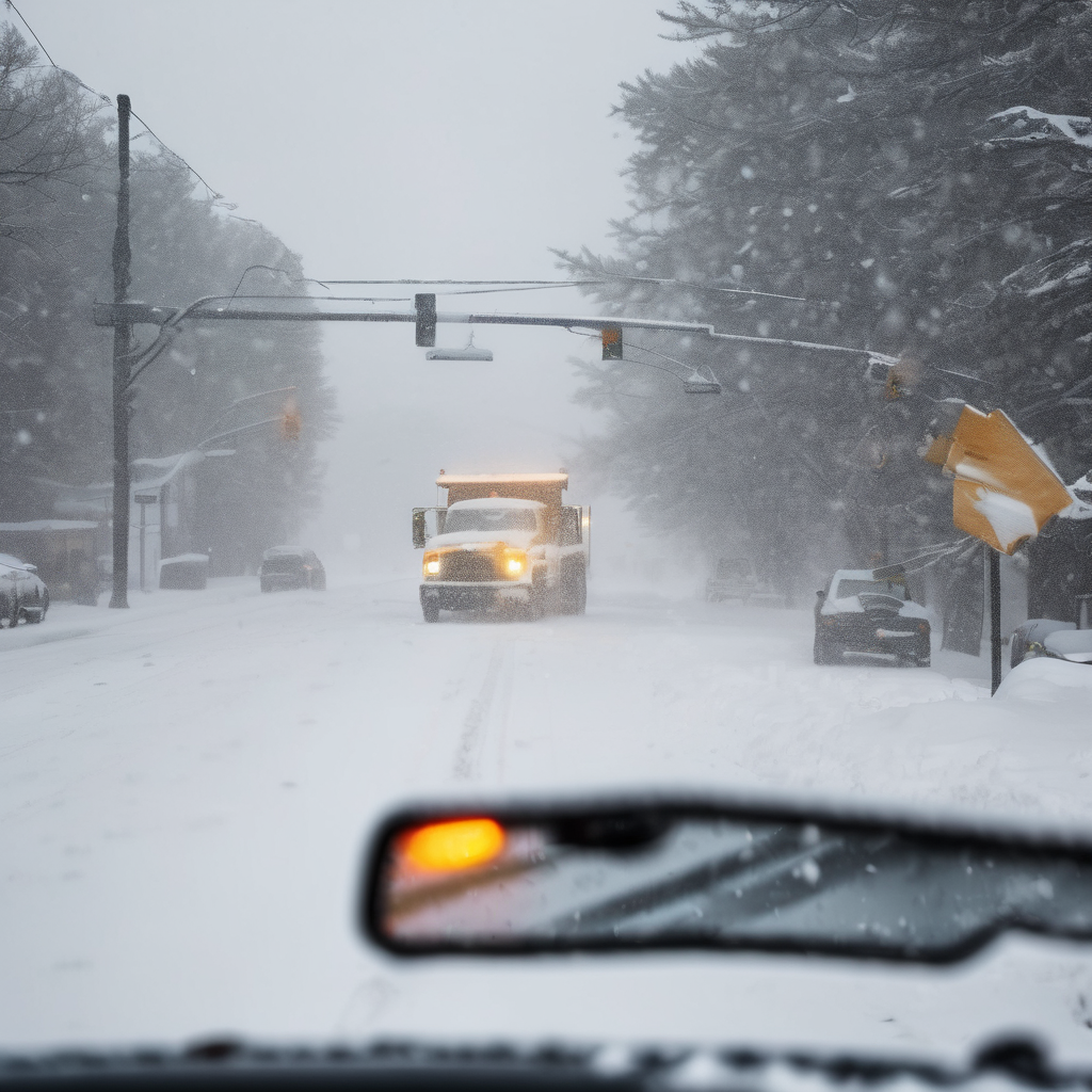
The NWS has stressed that dangerous travel conditions should be anticipated, as whiteout situations will make for treacherous driving. These hazardous conditions will significantly affect commutes from Monday morning through Wednesday. Widespread tree damage and isolated power outages may arise due to gusty winds, which could reach up to 50 mph.
Residents are urged to remain vigilant and prepared for these severe winter weather conditions. Local stations like NewsRadio 930 WBEN will continue to provide updates as the storm unfolds.