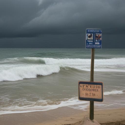
Residents of Brooklyn should be aware of a high risk of rip currents at local beaches today. In addition to beach safety concerns, the weather forecast includes showers and potentially isolated thunderstorms throughout the day, primarily expected between 9 a.m. and 5 p.m. Conditions will be mainly cloudy, but rain is likely to diminish by the evening hours, setting up for a mainly dry outlook for dinner plans.
As the weekend progresses, Sunday appears to be generally dry and cloudy with only a slight chance of a stray shower. Expect highs in the low to mid-70s. Moving into Monday, the weather will continue to be cool and cloudy, with breezy conditions and potential stray morning showers. Highs will remain in the mid to upper 60s.
Looking ahead, Tuesday may bring heavier rainfall, with showers likely in the morning followed by thunderstorms in the afternoon. The temperatures will hover near 70 degrees.
Starting midweek, there will be a notable warm-up. From Wednesday through Friday, temperatures are expected to rise into the 80s, possibly reaching nearly 90 in some neighborhoods by Thursday. The weather will be predominantly sunny, with increased cloud cover on Friday.
It’s also essential to keep an eye on the next weekend as another storm system may bring rain on Saturday, with temperatures around 80 degrees.
Overall, while conditions might be variable in the short term, the warmer temperatures midweek are a positive sign for those looking to enjoy outdoor activities. Just remember to stay safe, especially at the beaches, with the heightened risk of rip currents.