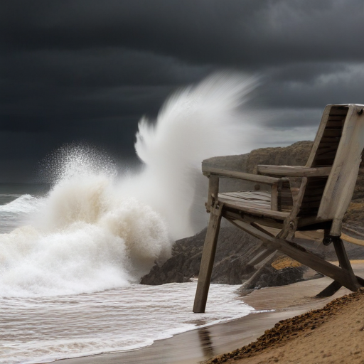
A significant “bomb cyclone” is set to impact the Oregon Coast, roughly 300 to 400 miles offshore, on Tuesday and Wednesday. With the potential to drop 50-60 millibars of atmospheric pressure in a 24-hour period, this cyclone is anticipated to be one of the strongest in recent record for the Pacific region, according to National Weather Service meteorologist Colby Neuman.
Coastal cities and the Willamette Valley may experience strong winds, although these are not expected to reach historically high levels. Nonetheless, there is a risk of power outages and hazardous conditions on the beaches. The cyclone will also bring heavy rain, increasing the chances of flooding in southwest Oregon and northwest California, alongside snow in the Cascade Range.
The most severe impacts will be felt in the Pacific, where winds may surpass 75 mph and generate huge waves of 20-30 feet and more. In light of this, vessels in the area are moving to safer waters to evade the dangerous conditions.
High wind warnings have been issued for the Oregon Coast and Coast Range from Tuesday afternoon until early Wednesday morning, predicting winds of 25-40 mph with gusts potentially reaching up to 60 mph. These winds pose a threat of downed trees, downed power lines, and traffic difficulties, particularly for taller vehicles. There is also a 10-20% chance that wind gusts could reach up to 70 mph, leading to even more widespread outages.
Additionally, a high surf warning has been issued for the southern beaches of Oregon, which will face extremely large waves that can create treacherous conditions, push large debris onto the shore, and cause significant erosion and infrastructure damage.
The Willamette Valley is under a wind advisory for similar gusty conditions. As for the Cascade Range, additional snow is expected to accumulate, making travel increasingly challenging. Up to 3 to 6 inches of snow could fall through Tuesday, followed by another 6 to 12 inches overnight.
While southern Oregon prepares for significant rain, especially in Curry County where localized flooding may occur, the Willamette Valley is expected to experience rainfall without widespread flooding concerns. Some urban flooding issues may arise, but no major threats have been identified.
As the Pacific Northwest braces for this powerful storm, residents are reminded to stay informed and prepared. Despite the potential challenges, there is also a sense of resilience as communities come together to face nature’s adversity. With careful planning and weather awareness, Oregonians have the opportunity to navigate these conditions safely.
