The weather in the Boston area remains dynamic, with another storm on the horizon. Following the wintry mix experienced on Tuesday night, the upcoming weather pattern is prompting a NEXT Weather Alert for Thursday night into early Friday. This system promises a complex mixture of precipitation that will have varying effects across Massachusetts.
In Worcester County, residents should prepare for significant ice accumulation, while those in Essex County can expect snow removal efforts to be underway. Meanwhile, southeastern Massachusetts is bracing for heavy rainfall that could lead to localized flooding, with other areas experiencing a mix of all these weather elements.
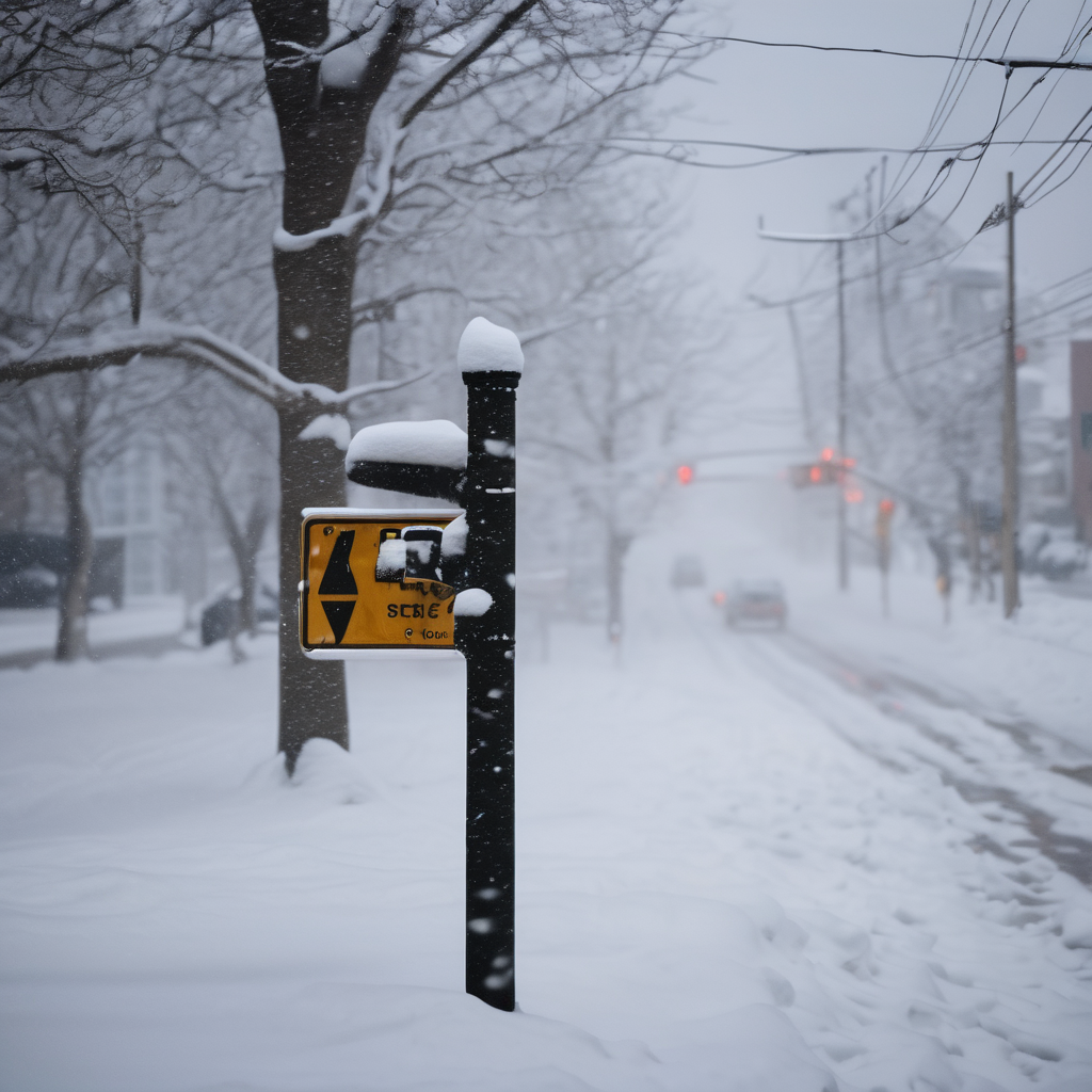
On Thursday, expect a gloomy day characterized by scattered rain and sleet showers that pose little immediate impact. However, as night falls, conditions will change significantly. Steady precipitation will enter the area, with temperatures dropping and rain transitioning to sleet and freezing rain, particularly north of the Massachusetts Turnpike. Throughout Thursday night, southeastern Massachusetts will see heavy rain, while areas to the north and west of I-95 will deal with a mix of sleet and freezing rain, creating hazardous conditions on untreated roads.
The heaviest concerns regarding ice accumulation are centered around Worcester County, where up to a quarter-inch or more could coat power lines and trees, leading to potential power outages. As the storm reaches its conclusion early Friday morning, the icy conditions will shift to snow, especially along and north of the Massachusetts-New Hampshire border and across northeast Massachusetts. Predictions indicate a possibility of 3 to 6 inches of snow in localized areas, while 1 to 3 inches of a slushy mixture will accumulate in the Boston Metro area.
The most treacherous travel times are expected between 9 p.m. on Thursday and 9 a.m. on Friday, with gradually improving conditions throughout Friday. Drivers are urged to be cautious and prepare for challenging travel conditions.
Flooding is also a concern, especially in southeastern Massachusetts, where up to 1.5 inches of rain could exacerbate the existing snowpack. Residents are advised to ensure that gutters and storm drains are clear to help mitigate flooding risks.
Looking ahead, there is optimism as warmer temperatures are projected for the weekend, reaching the 50s. The following week could even see temperatures soar to around 70 degrees, significantly melting the remaining snow cover and moving towards a more stable weather pattern. This shift gives hope for a welcome reprieve from the winter weather and the complications it brings.