BIRMINGHAM, Ala. — A significant Arctic air mass is entering Central Alabama on Sunday night, bringing with it dangerously low temperatures and an increased risk of black ice on the region’s roadways that will last into early Tuesday.
This cold snap will affect several counties within the viewing area, including Bibb, Blount, Calhoun, Cherokee, Chilton, Clay, Coosa, Cullman, Etowah, Fayette, Greene, Hale, Jefferson, Marion, Pickens, Shelby, St. Clair, Talladega, Tuscaloosa, Walker, and Winston.
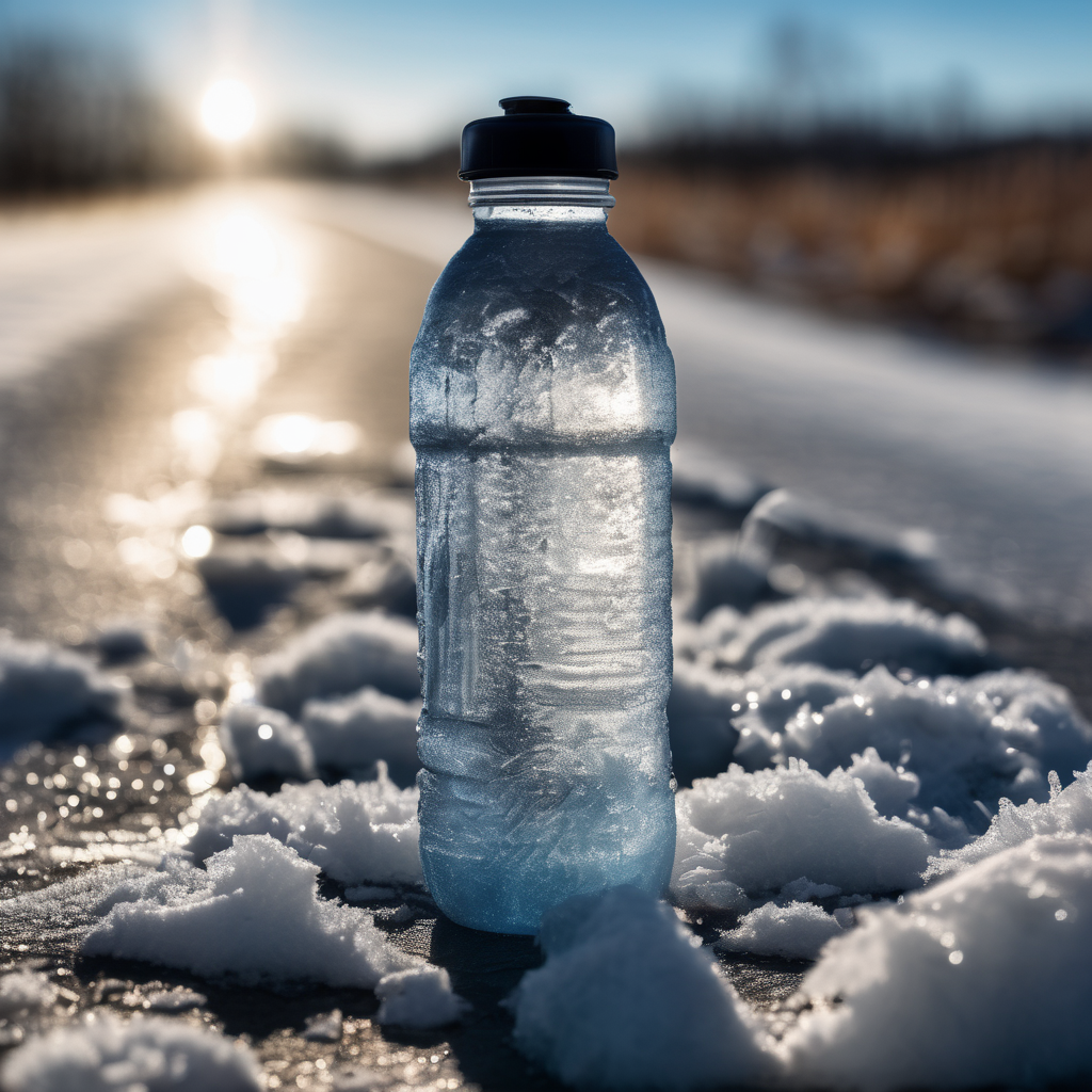
As temperatures plunge following Sunday’s cold front, any moisture on the roads could freeze rapidly, leading to hazardous conditions, particularly late Sunday night and overnight. Black ice, which is often nearly invisible, is likely to form on bridges, overpasses, elevated roadways, and shaded or poorly-drained areas.
The Alabama Department of Transportation (ALDOT) has cautioned that extreme cold can hinder the effectiveness of road treatments, meaning icy patches may remain on roads even after they have been treated.
The National Weather Service has issued Cold Weather Advisories for Central Alabama, valid from midnight Sunday night to 10 a.m. Monday, and then again from 9 p.m. Monday to 9 a.m. Tuesday. During this period, wind chills may plummet to near or below zero, with actual temperatures dropping into the single digits or lower teens. Such prolonged freezing conditions also elevate the risk of burst pipes.
In light of these conditions, ALDOT advises drivers to exercise extreme caution and limit travel during icy periods. If travel is necessary, they recommend slowing down, increasing following distances, avoiding sudden braking and sharp turns, and ensuring headlights are on for better visibility. Drivers should also stay alert for road crews and emergency responders.
Residents are urged to take protective measures as temperatures fall. This includes dressing warmly, keeping pets indoors, checking on elderly neighbors who may lack reliable heating, wrapping exposed pipes, and allowing faucets to drip slowly to prevent freezing. Additionally, space heaters should be used cautiously, and generators or grills should never be operated indoors.
Looking ahead, cold, dry conditions are expected to remain throughout much of the upcoming week, with daytime highs in the 30s and 40s and nighttime lows in the teens and 20s.
Residents are encouraged to stay tuned for updates and to monitor road conditions before venturing out overnight or early Monday morning. This weather event highlights the importance of preparedness and caution during extreme cold as communities come together to ensure safety.