A significant winter weather event is set to impact the Midwest on Sunday, bringing with it a dramatic drop in temperatures, high winds, and the potential for snowfall. The change in weather comes after a mild December day in Iowa, where temperatures hovered around 40 degrees, which is slightly above the average high of 33 degrees for this time of year.
As Sunday approaches, residents are advised to prepare for a sharp decline in temperatures, plummeting from the 40s into the 20s by midday. In some regions, particularly in the northwestern areas of Iowa, temperatures may already be in the teens. By late afternoon, most of Iowa can expect to see temperatures in the 20s and even single digits as evening sets in. This rapid temperature drop is compounded by predicted wind gusts reaching up to 50 mph, which will create severe wind chills and contribute to hazardous conditions.
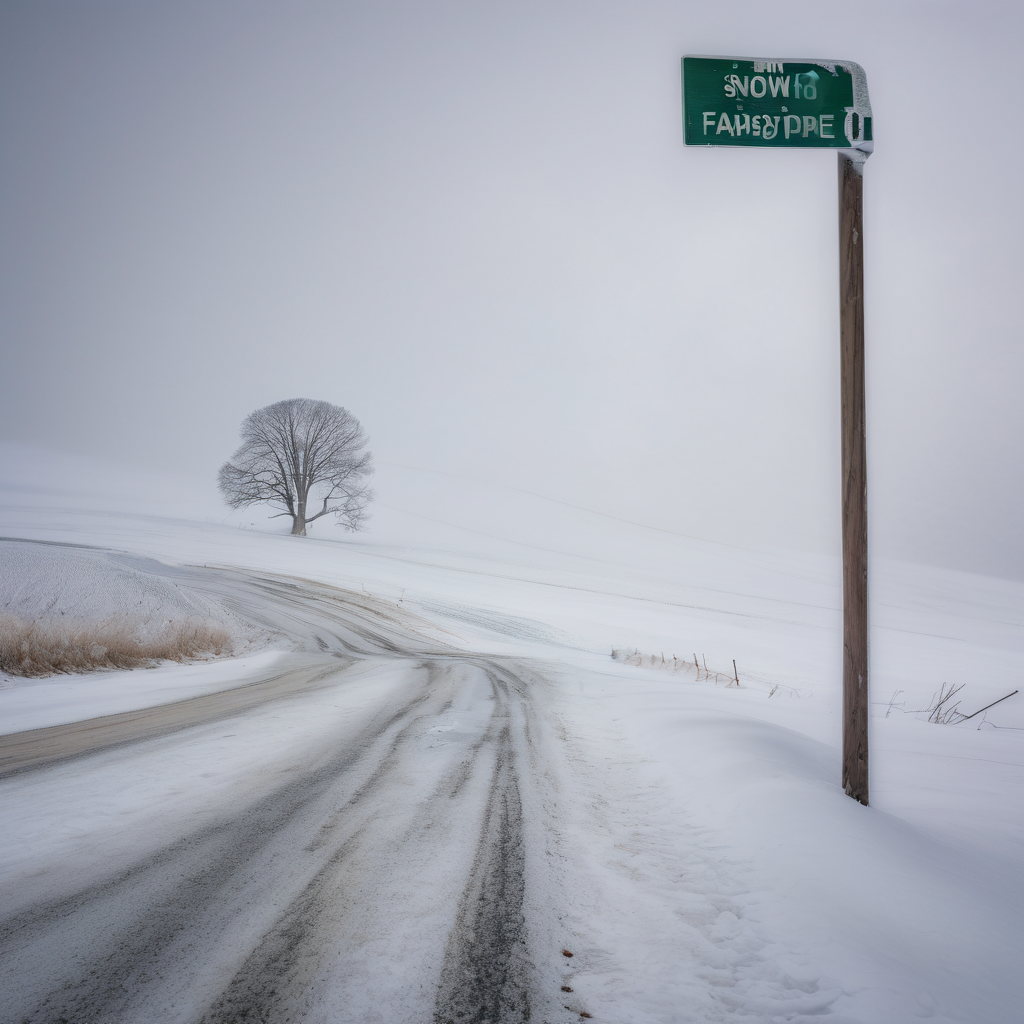
In addition to the cold weather, a winter storm watch has been issued for northern Iowa, signaling the likelihood of blizzard-like conditions emerging by Sunday evening. Snow is anticipated to begin as a wintry mix on Sunday morning, transitioning to snow as the cold front moves in, with accumulations particularly heavy in northern and northeastern parts of the state. Areas like Algona, Fort Dodge, and Mason City could see significant snowfall, while the Des Moines metro area might accumulate around an inch.
Forecasters caution that the combination of strong winds and even small amounts of snowfall could lead to whiteout conditions, making travel highly challenging throughout the state. For those planning to venture out, especially for events like Iowa’s birthday bash, a heavy coat, hat, and gloves are essential gear.
While there may be difficulties ahead, residents can take comfort in knowing that preparations now can mitigate some of the effects of this winter blast. It’s a reminder of the season’s power and the importance of staying informed and ready for rapidly changing weather.